![]()
![]()
![]()
![]()
![]()
![]()
|
Penydarren |
||||||||||||
|
Merthyr Tydfil |
||||||||||||
|
<Click on the photograph to enlarge> |
||||||||||||
|
||||||||||||
|
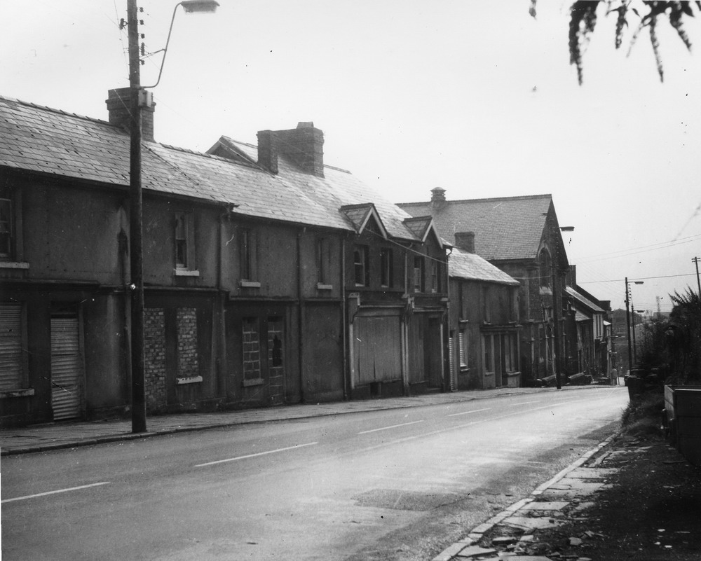
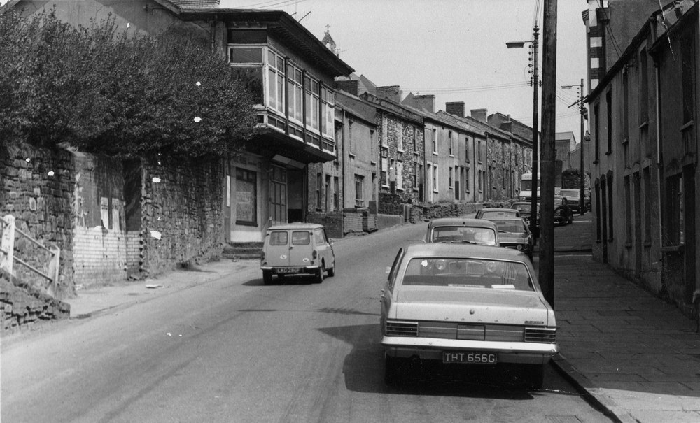
Penydarren High Street in 1974. (Photograph courtesy of the John Owen Collection) |
||||||||||||
|
|
||||||||||||
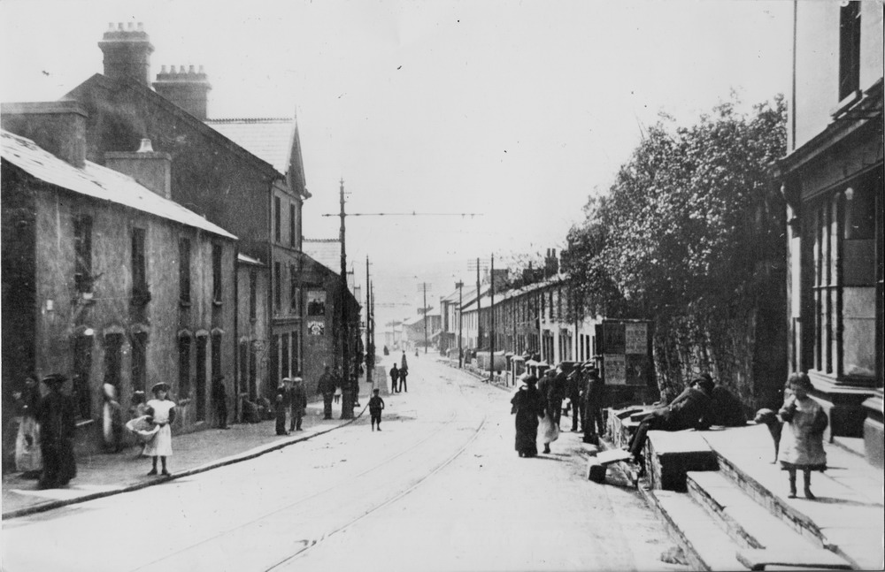
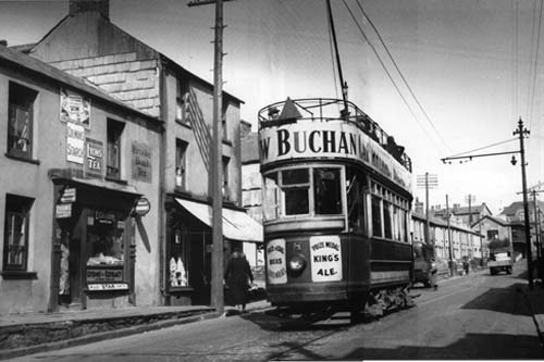
High Street, Penydarren. The Tram lines are down so it dates about 1905-10. The Lucania has yet to be built, but the hedge at the bottom of Horeb's graveyard is well established, in fact it could do with cutting. |
||||||||||||
|
|
||||||||||||
|
||||||||||||
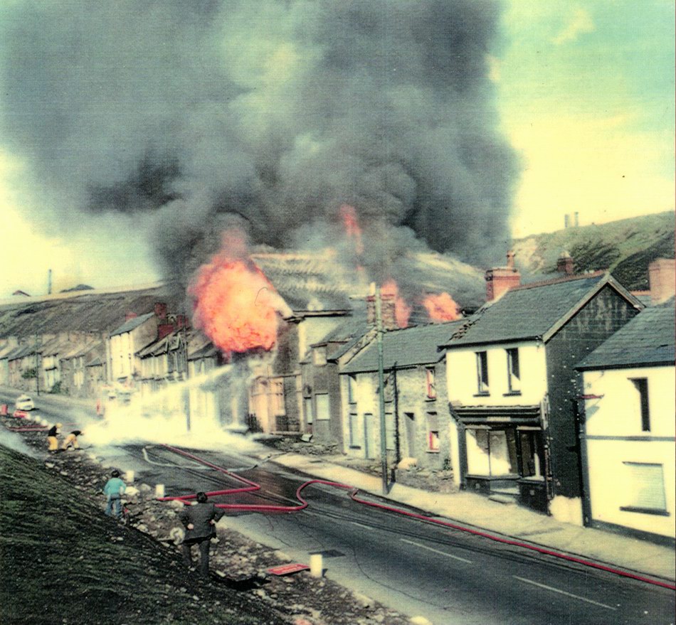
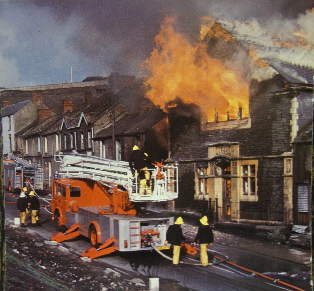
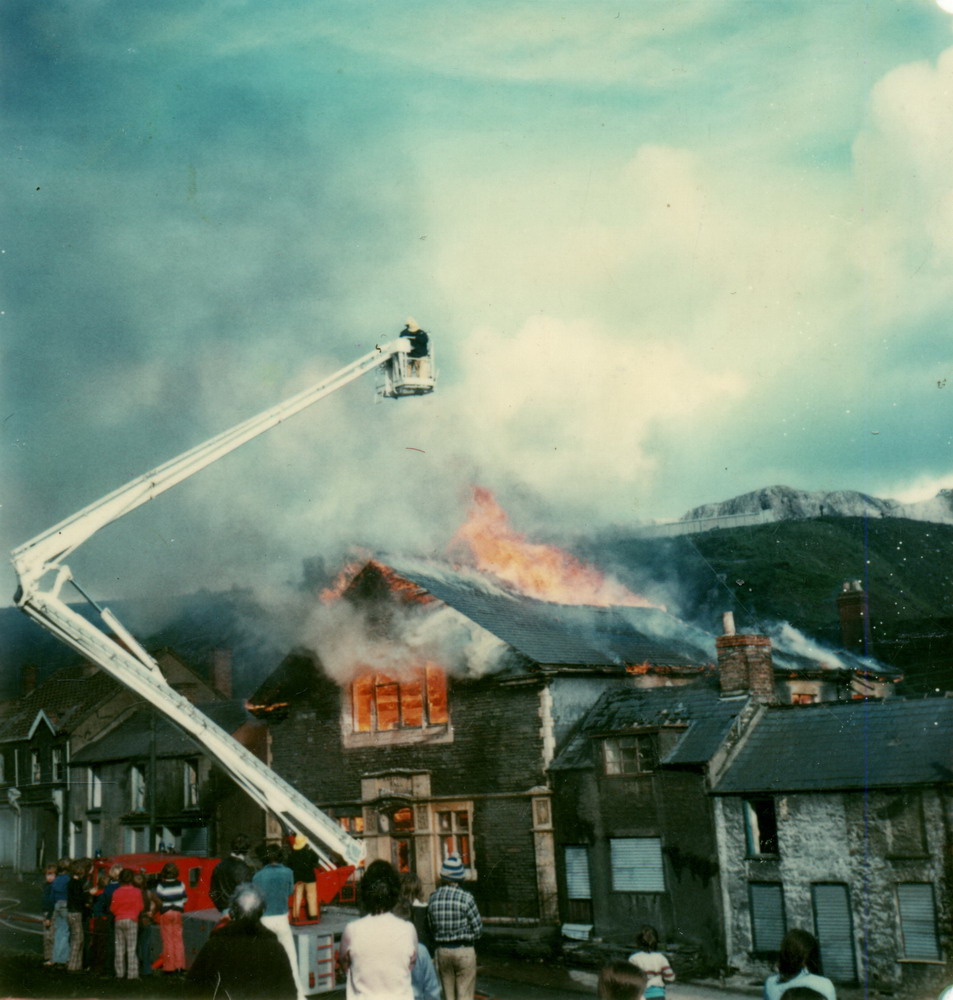
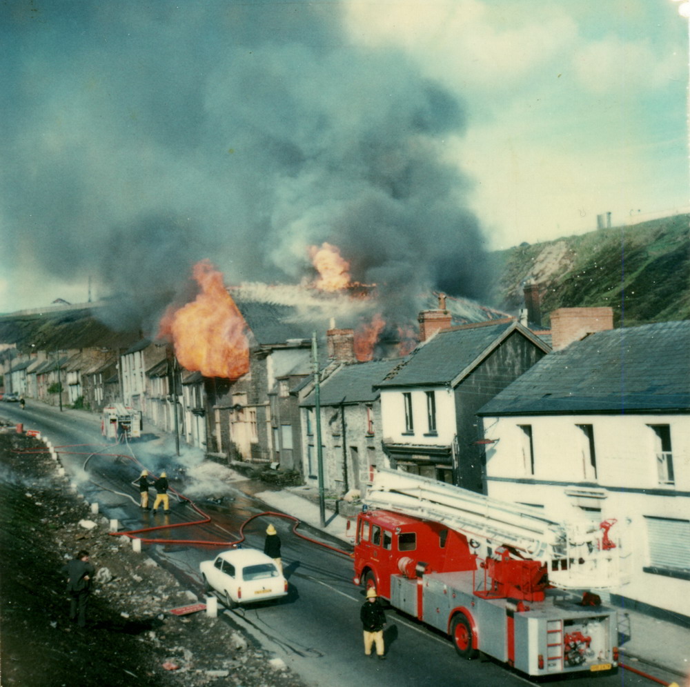
| Radcliffe Hall, burning in the 1970's. | ||||||||||||
|
||||||||||||
|
||||||||||||
|
|
||||||||||||
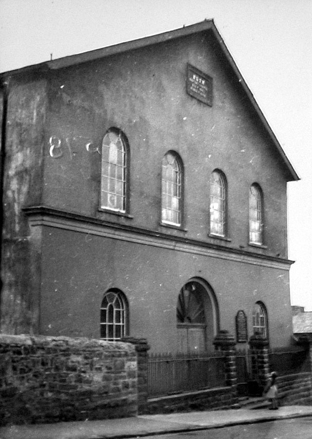
| Elim Chapel | ||||||||||||
|
|
||||||||||||
|
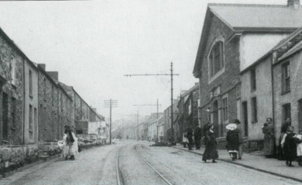
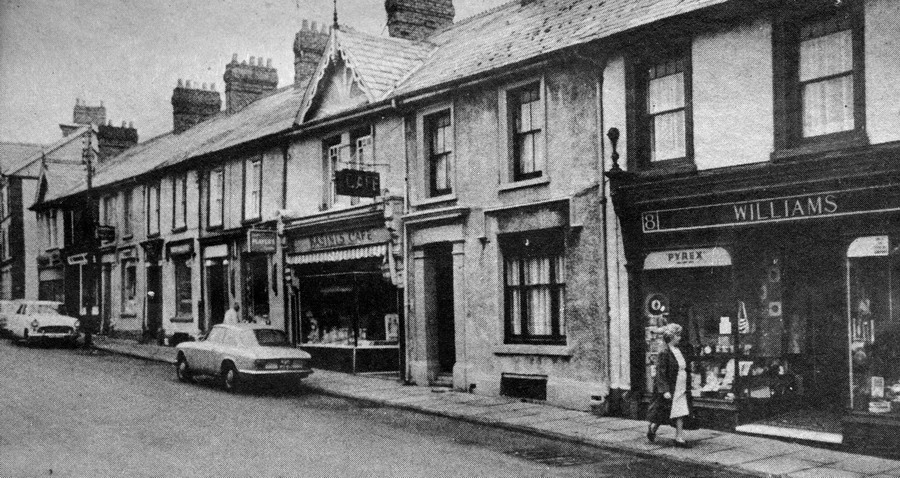
Penydarren High Street. May 1973. On the right is the Co-op. Next door up is the NEW INN. Opposite the Co-op hidden by the hedge (which still stands today) was the Lucania, In the distance on the left hand side can be seen the Masons Arms. |
||||||||||||
|
||||||||||||
|
|
||||||||||||
|
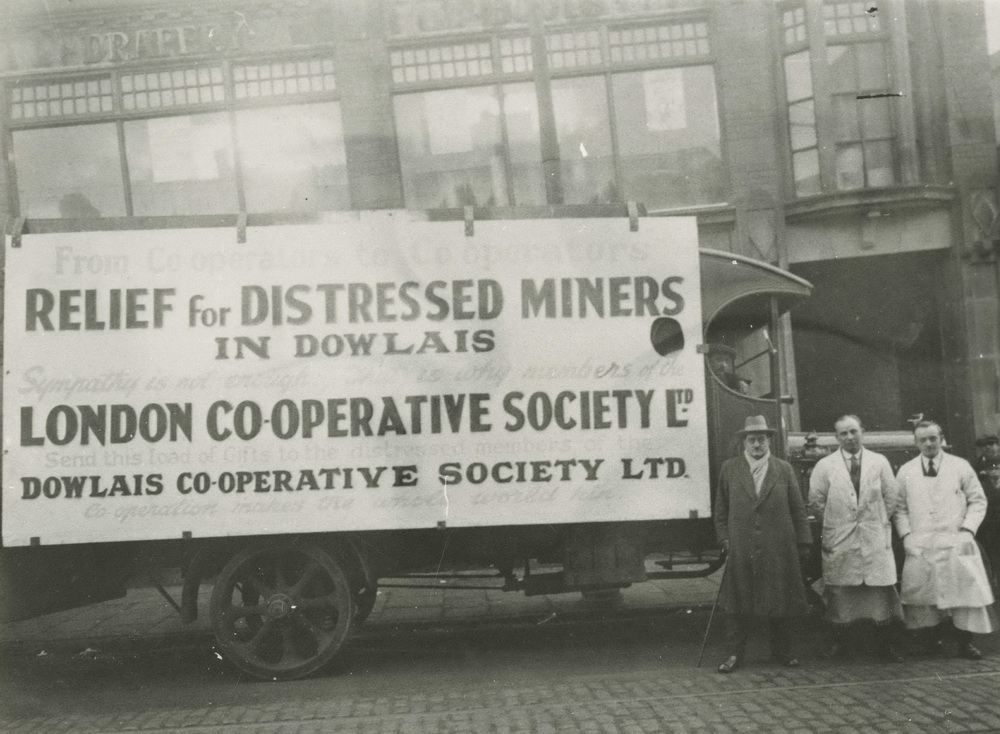
Relief for Distressed Miners In Dowlais, London Co-operative Society Ltd., Outside the Penydarren Co-operative Shop. |
||||||||||||
|
|
||||||||||||
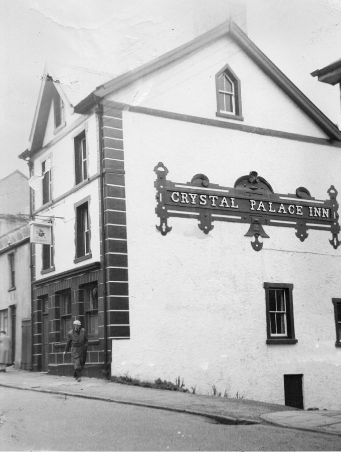
| Crystal Palace Inn, Penydarren. | ||||||||||||
|
|
||||||||||||
|
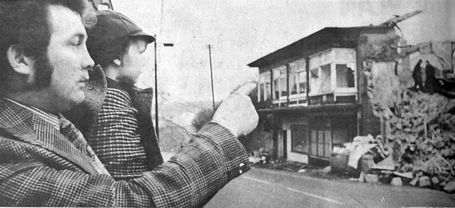
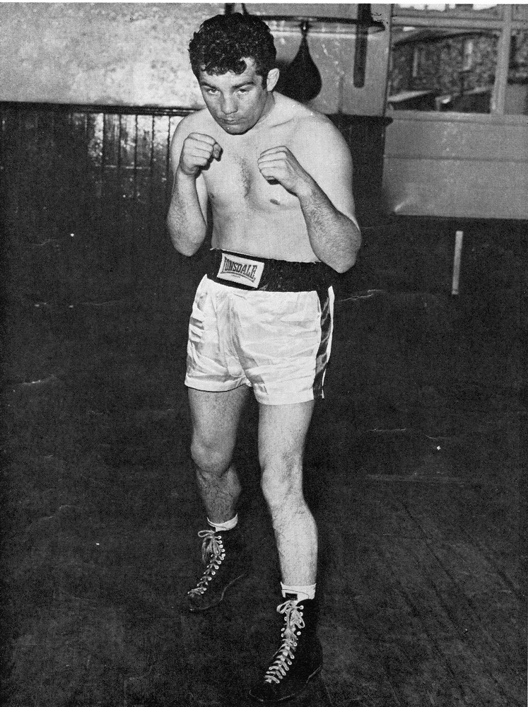
Howard Winstone M.B.E. - World Featherweight Champion, with his young son, watches as Eddie Thomas' Gymnasium is demolished. (From the Merthyr Express - November 18th 1975) |
||||||||||||
|
|
Howard Winstone in the Gym. Penydarren High Street can be seen through the window. |
|||||||||||
|
||||||||||||
|
The Lucania. Eddie Thomas' Gym. |
||||||||||||
|
||||||||||||
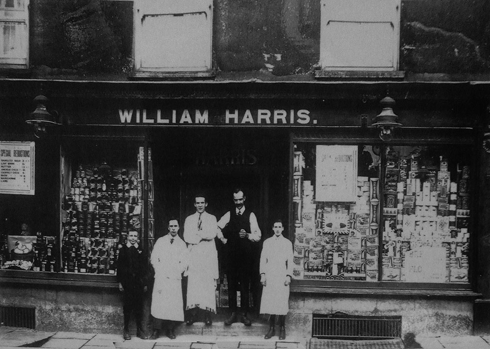
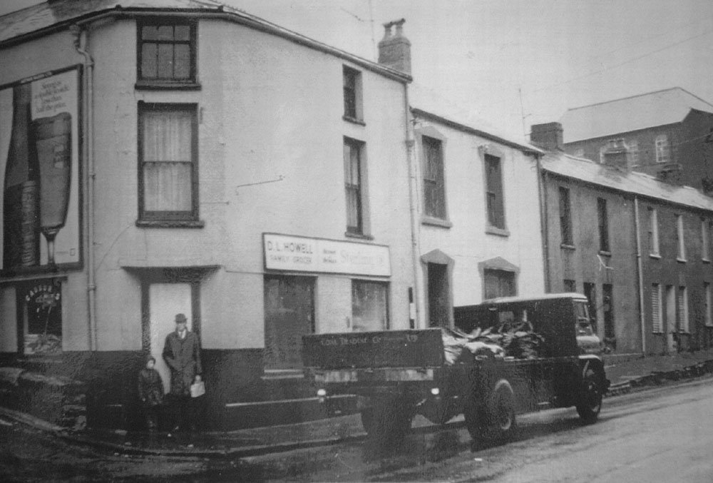
| William Harris Grocers, No.28, High Street, Penydarren. | ||||||||||||
|
|
||||||||||||
|
|
||||||||||||
|
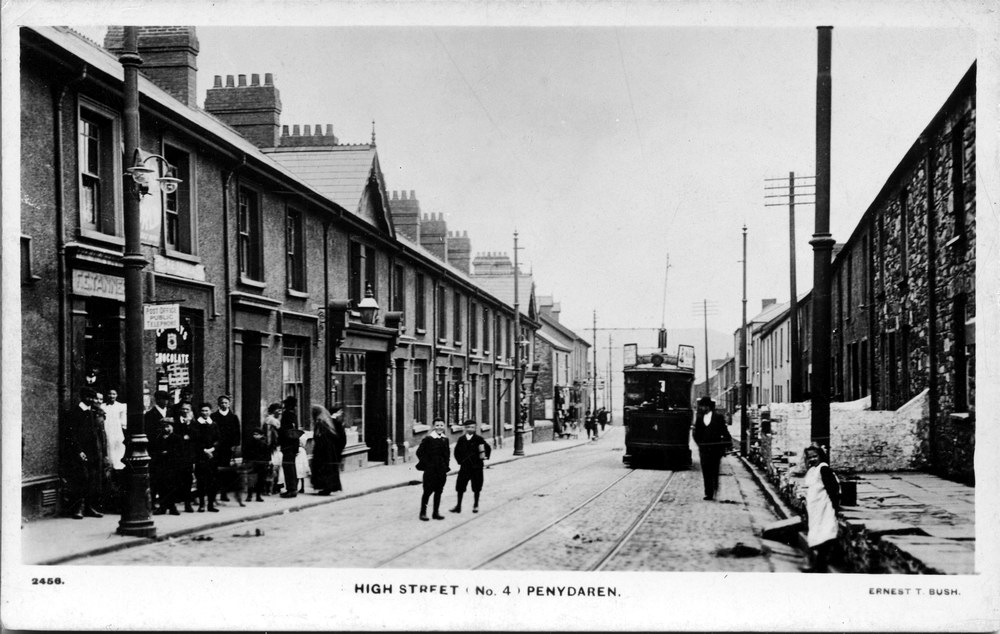
High Street - No 4 Ernest T Bush No 2456 (Postcard courtesy of Gill Thomas, west Grove) |
||||||||||||
|
|
||||||||||||
| High Street, Mathias Terrace 1971 | ||||||||||||
|
|
||||||||||||
|
High Street , Mathias Terrace to right. 1971 |
||||||||||||
|
|
||||||||||||
| High Street , Mathias Terrace .1971. | ||||||||||||
|
|
||||||||||||
|
Penydarren - 71 High Street in the 1970's. By Horeb Chapel steps. (Photograph Courtesy of Ken Jones) |
||||||||||||
|
|
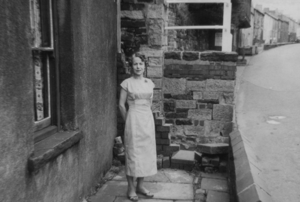
Olwen Hillman (nee Jones) outside 71 High Street, Penydarren - 1959. (Courtesy of Ken Jones) |
|||||||||||
|
|
||||||||||||
|
|
||||||||||||
|
|
||||||||||||
|
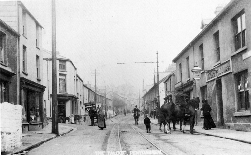
The Talbot Inn, High Street, 1906. |
||||||||||||
|
|
||||||||||||
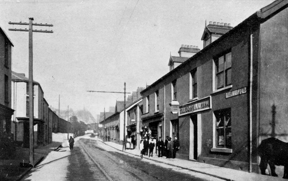
| The Talbot Inn. | ||||||||||||
|
|
||||||||||||
|
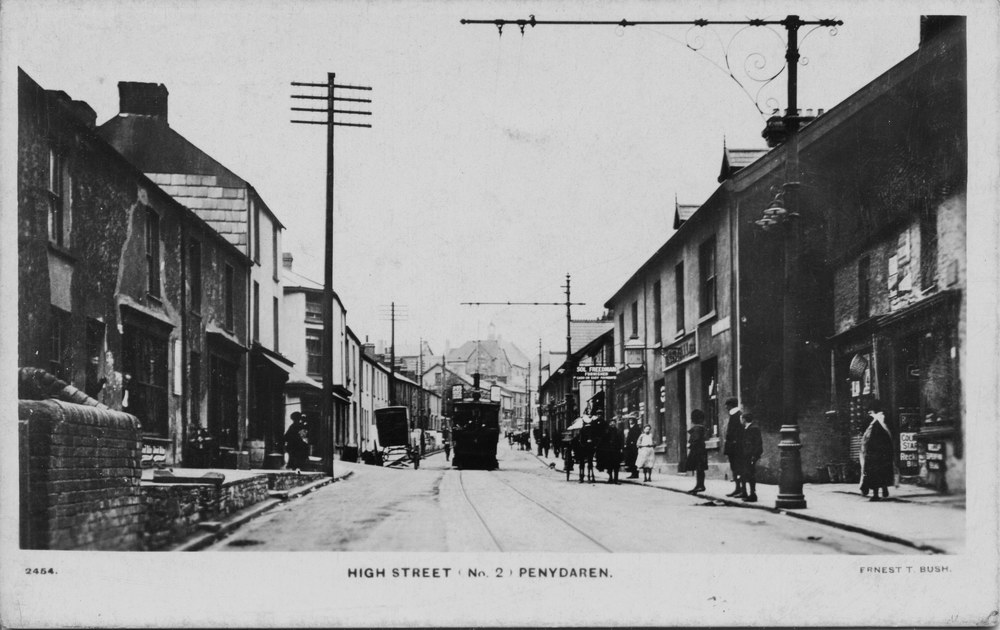
High Street No 2 - Ernest T Bush No 2454. (Postcard courtesy of Gill Thomas, West Grove) |
||||||||||||
|
|
||||||||||||
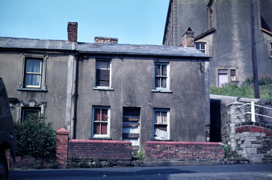
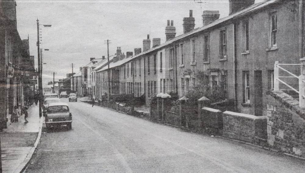
| High Street - 1971. | ||||||||||||
|
|
||||||||||||
|
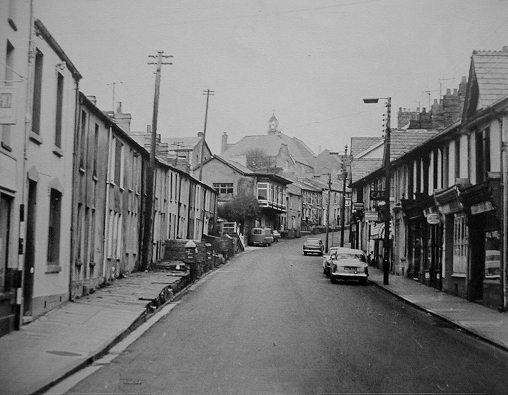
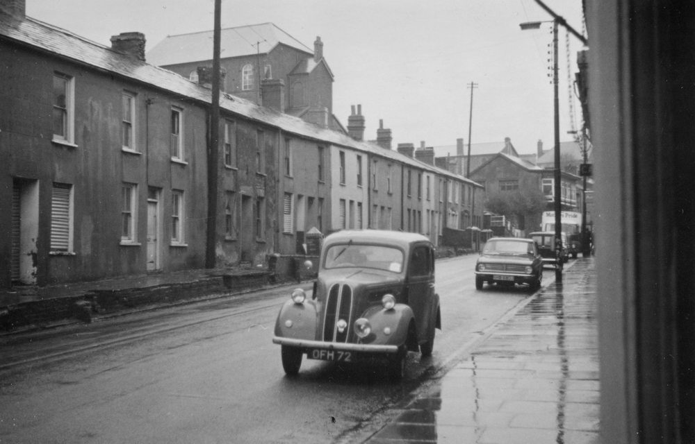
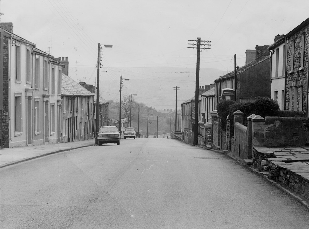
High Street, in the 1960's. |
||||||||||||
|
|
||||||||||||
|
A Slag Pot cast at the Ifor Works, at Matthias Terrace, on it's way to Scunthorpe Steel Works (Lysaghts). 1962. (Photograph courtesy of the John Owen Collection) |
||||||||||||
|
|
||||||||||||
|
||||||||||||
|
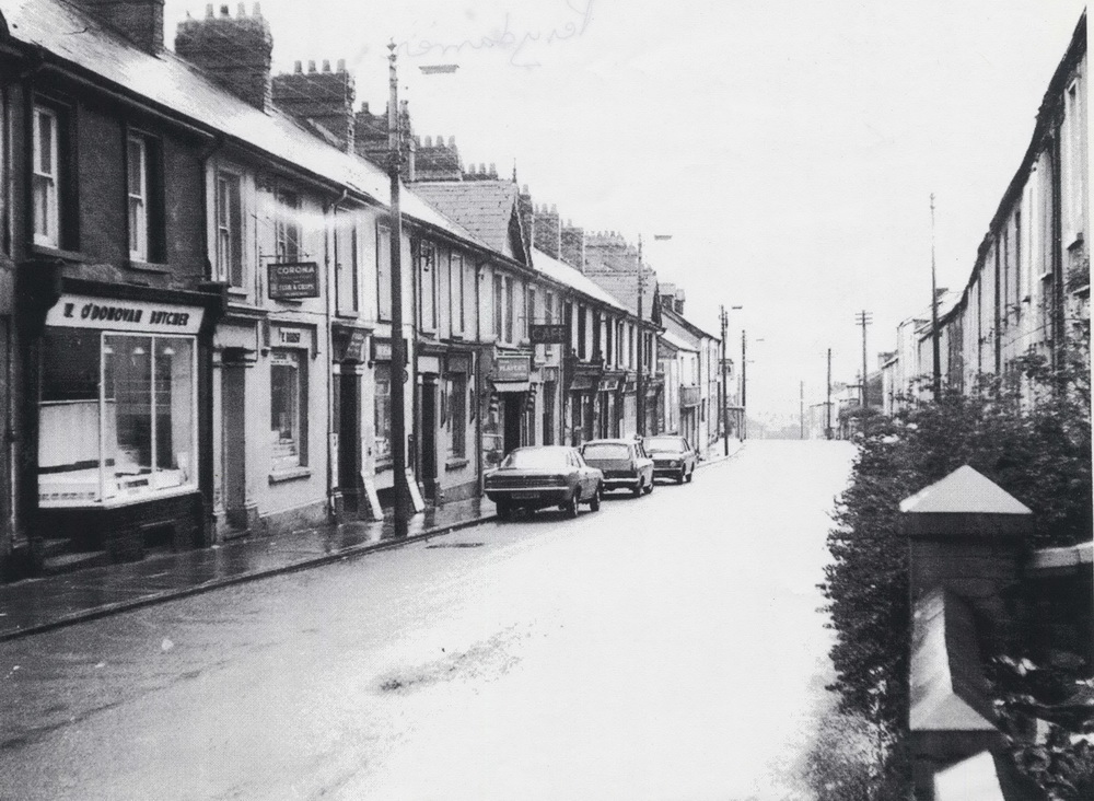
Lower High Street |
||||||||||||
|
|
||||||||||||
|
||||||||||||
|
||||||||||||
|
|
||||||||||||
_StephenBrewer.jpg)


SteelworksatPenydarrenHighStreet_1962img025.jpg)

