|
The Bont |
|
Dowlais |
|
Including Gellifaelog Road |
|
Penydarren |
|
|
<Click on photograph to enlarge> |
|
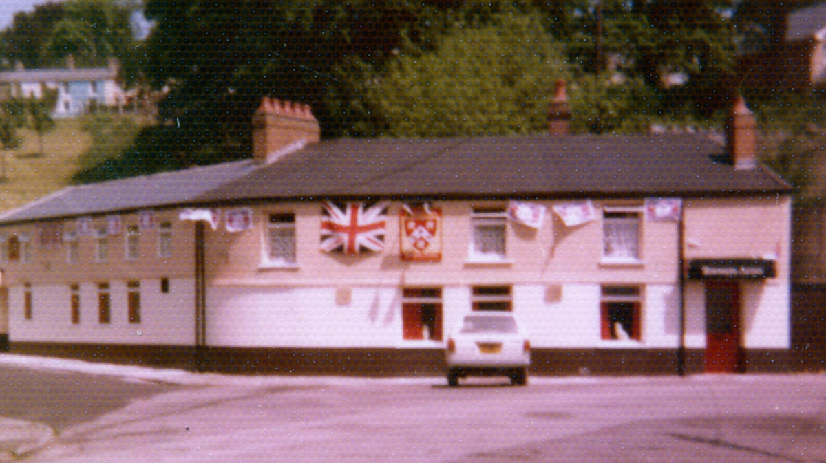
The Brewers Arms in the 1970's
(Photograph
Courtesy of David Watkins) |
|
 |
 |
 |
|
 |
|
|
| |
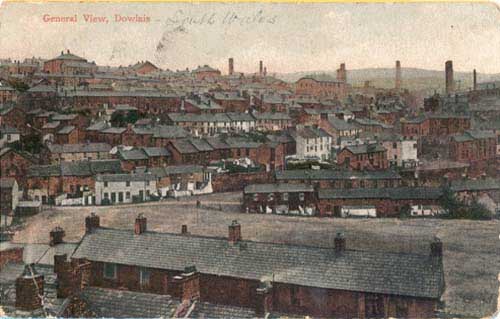
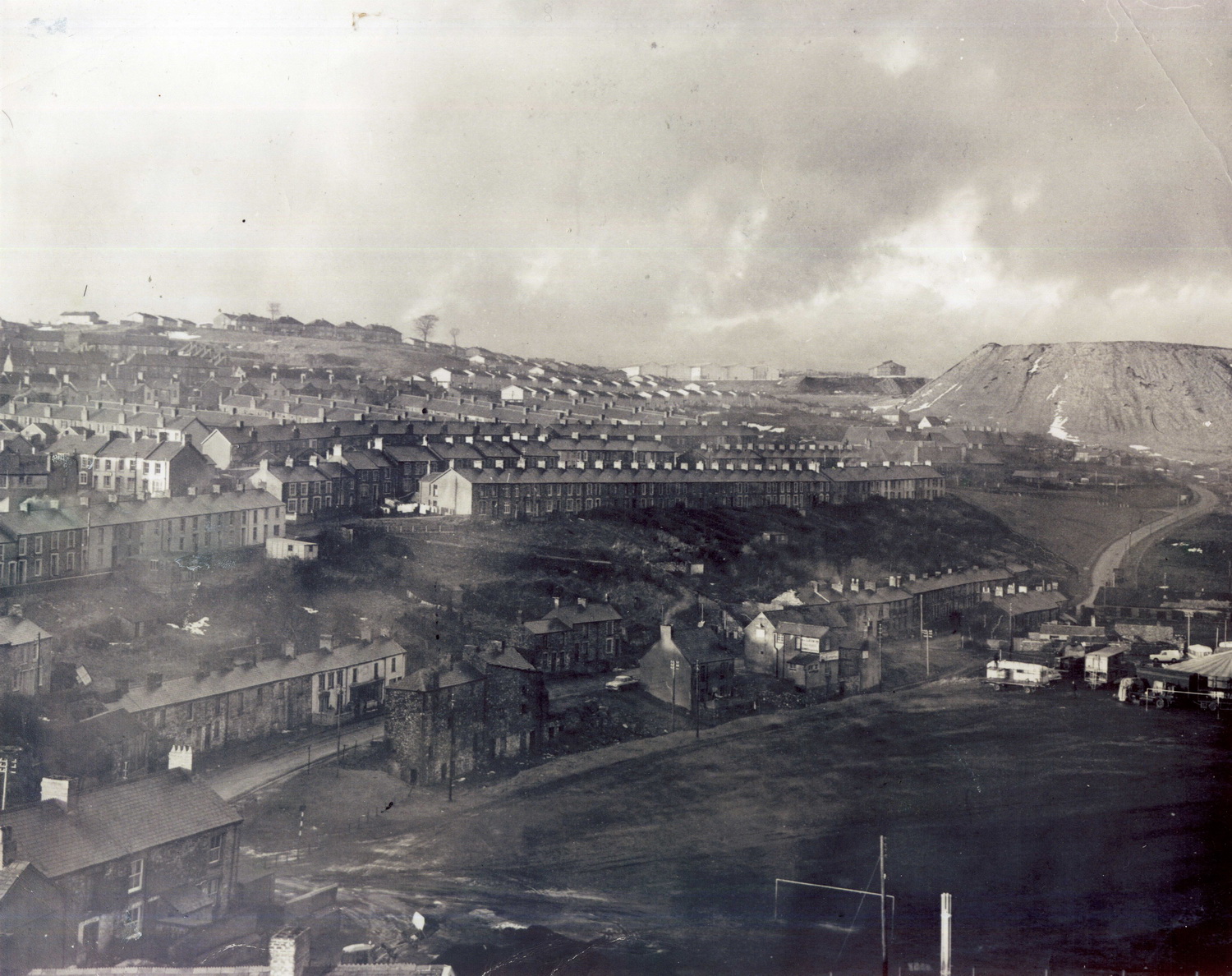
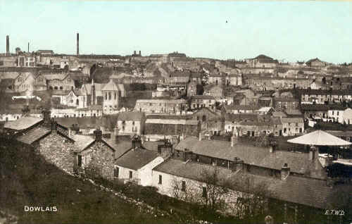
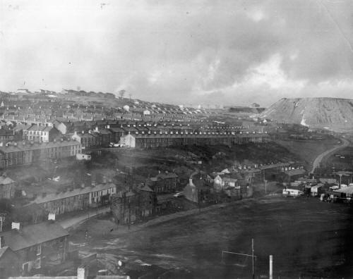
General View, Dowlais.
Looking across the Bont, from Penydarren |
|
|
|
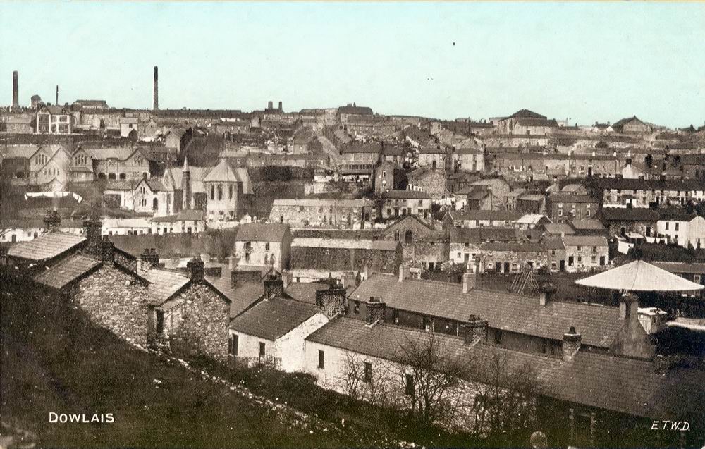
General View, Dowlais. Looking across the Bont,
(with a Fair), from Penydarren |
|
|
|
|
|
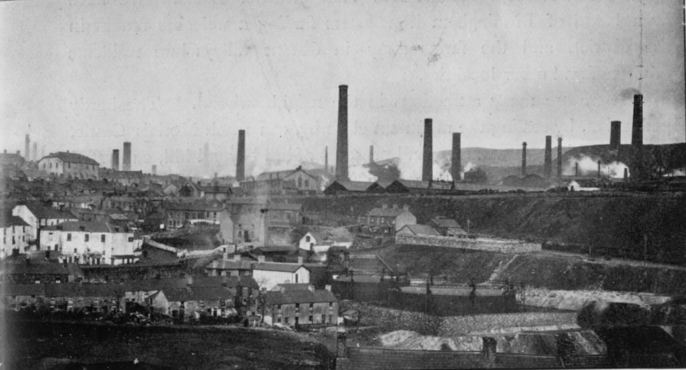
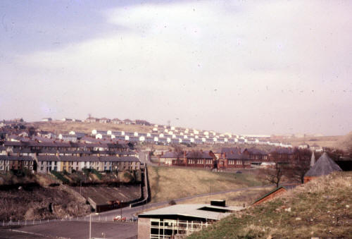
Lower
Dowlais looking from Gibsons Row Penydarren.
The Council
Skip Yard now occupies the area of the gasometers in the picture. Behind the
gasometers is the gradient of the New Road. |
|
 |
|
|
|
|
 |
|
| |
|
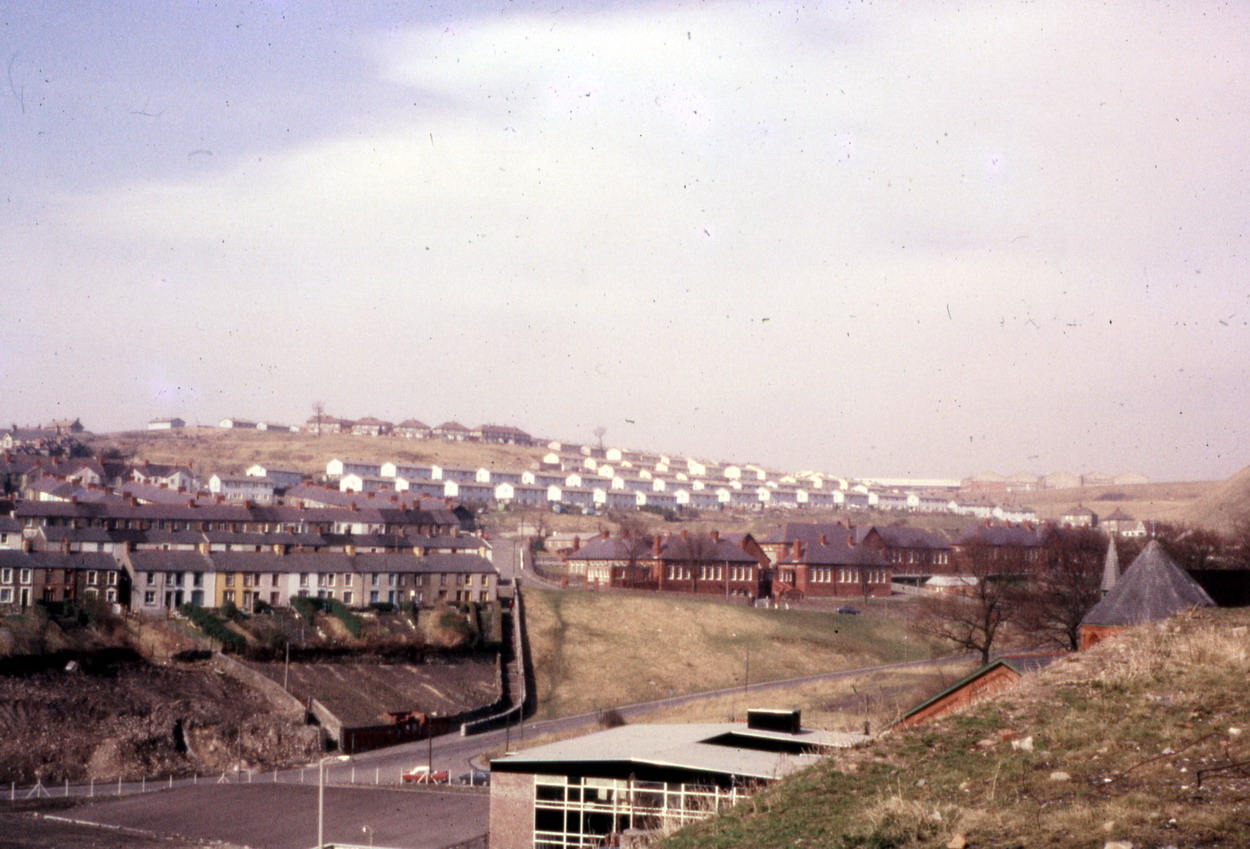
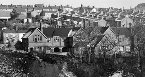
Gellifaelog School and
Penydarren in the 1960's
(Photograph
Courtesy of Robert Thomas ex West Grove) |
|
 |
|
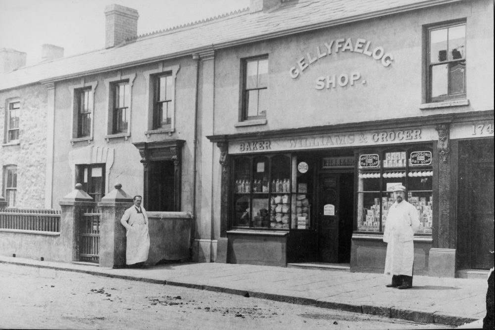
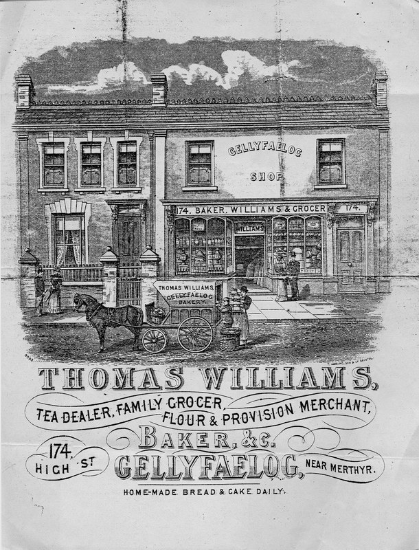
| Gellifaelog Shop. |
|
|
| |
| The Bont |
|
 |
| |
|
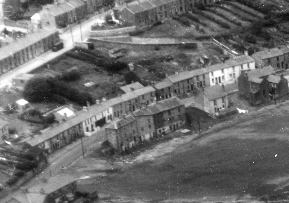
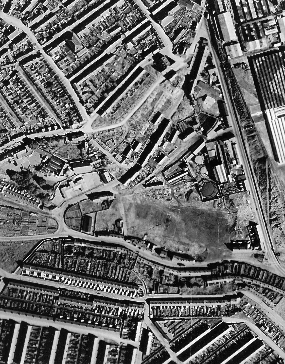
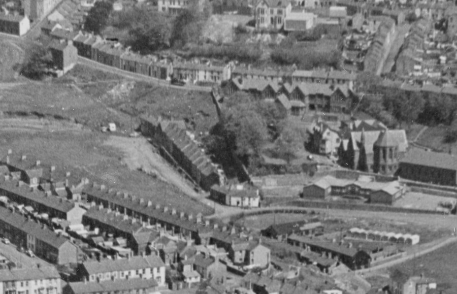
The Bont - Aerial Photograph -
September 1947
(Photograph
Courtesy of Mark Moran) |
|
 |
| |
|
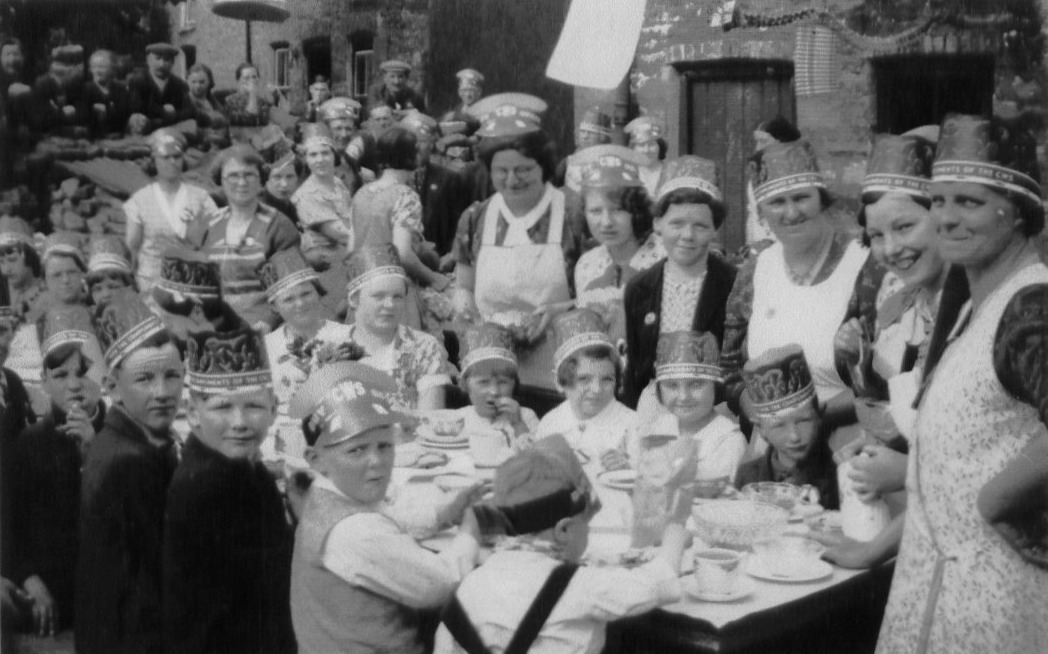
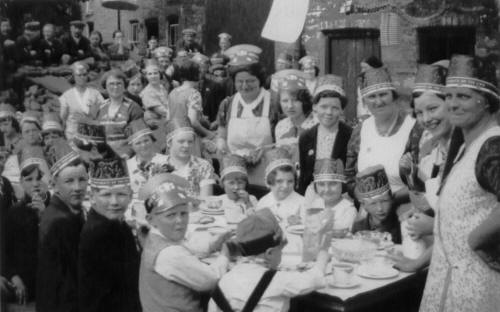
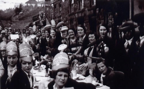
Coronation Party - Gellifaelog
Road 1937 - 38.
(Photograph
Courtesy of Mal Harries) |
|
 |
|
|
| |
|
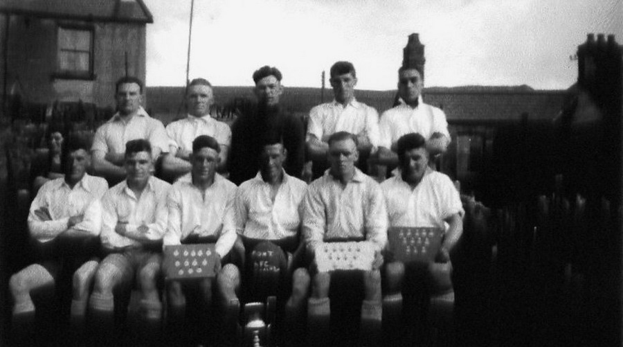
Bont Football Club, Team 1938.
- "Champions"
(Photograph by
Bryn Harries, courtesy of Mal Harries) |
|
 |
| |
|
| |
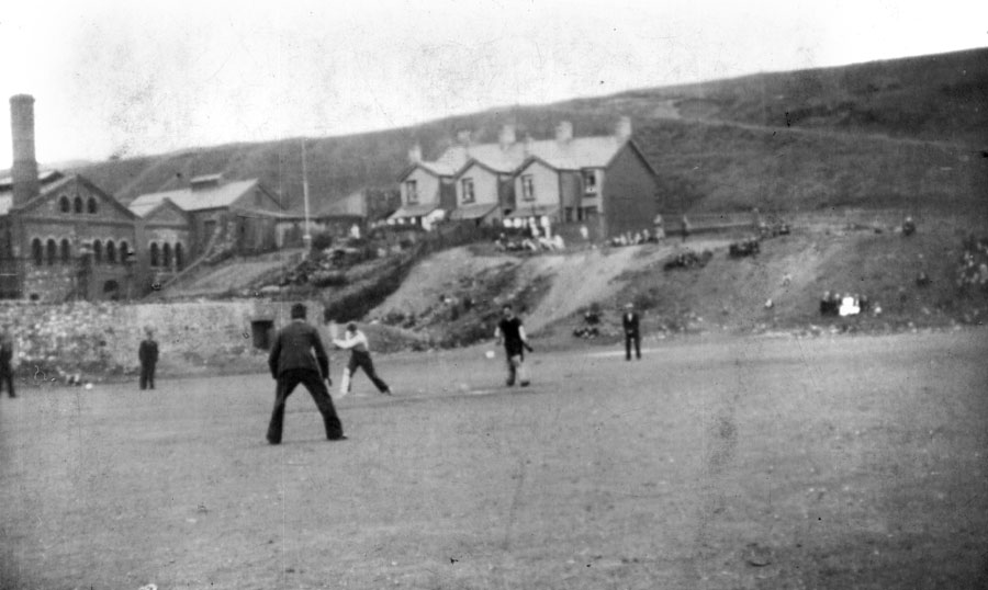
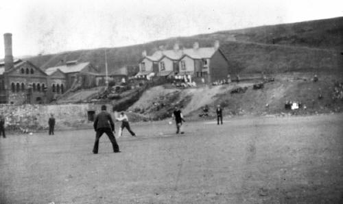
Playing cricket -
1937
((Photograph
by Bryn Harries, Courtesy of Mal Harries) |
|
|
|
|
|
 |
|
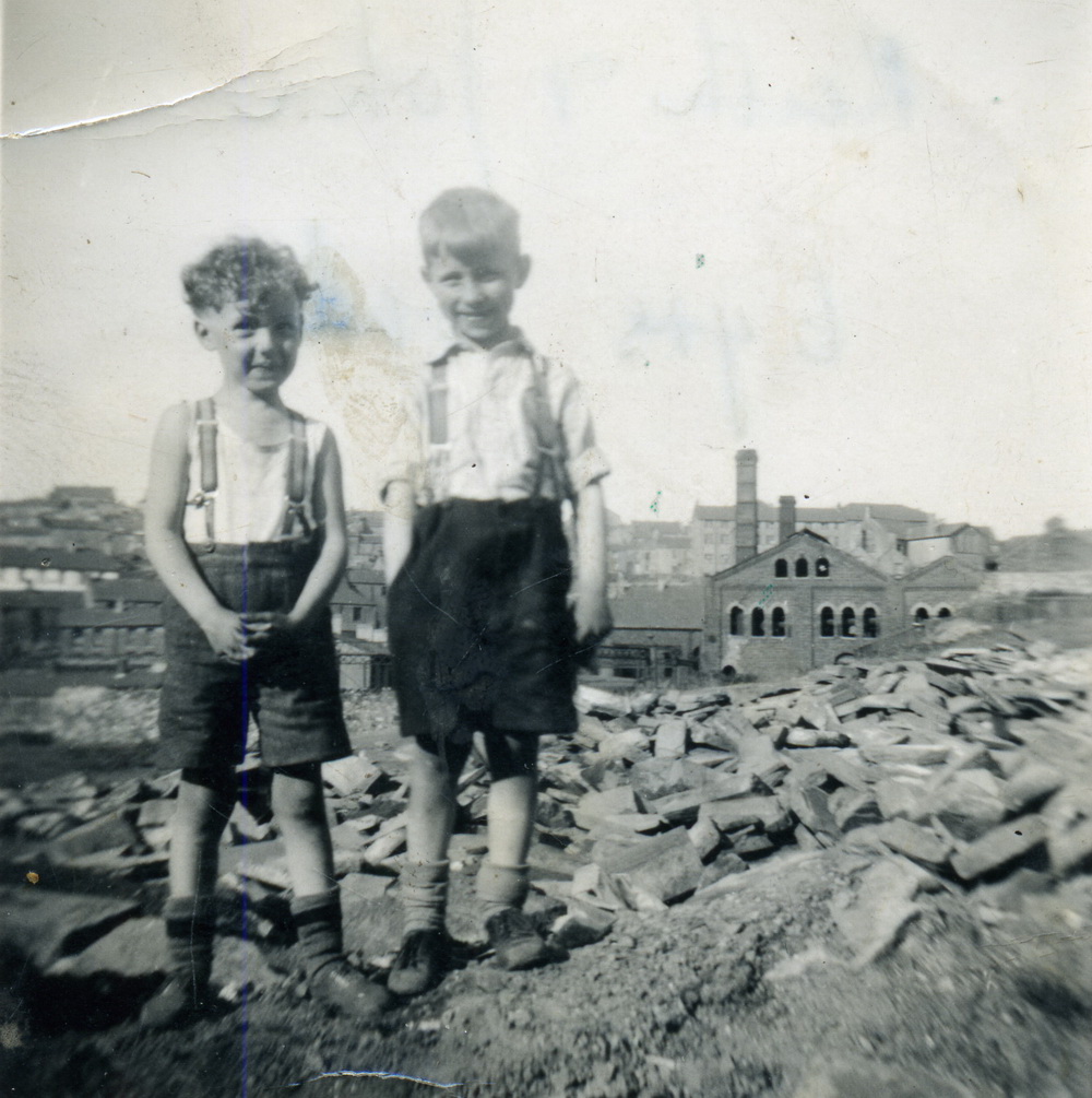
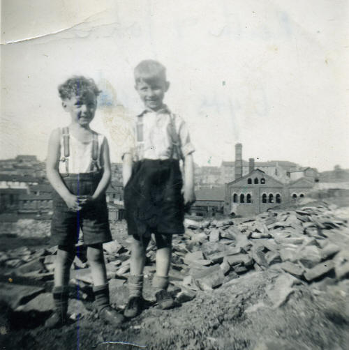
Keith
Watts (left) and friend on the New Road, Dowlais
In the
background is the Dowlais Gas Works, looking over the Bont |
|
|
 |
|
|
|
|
|
| |
|
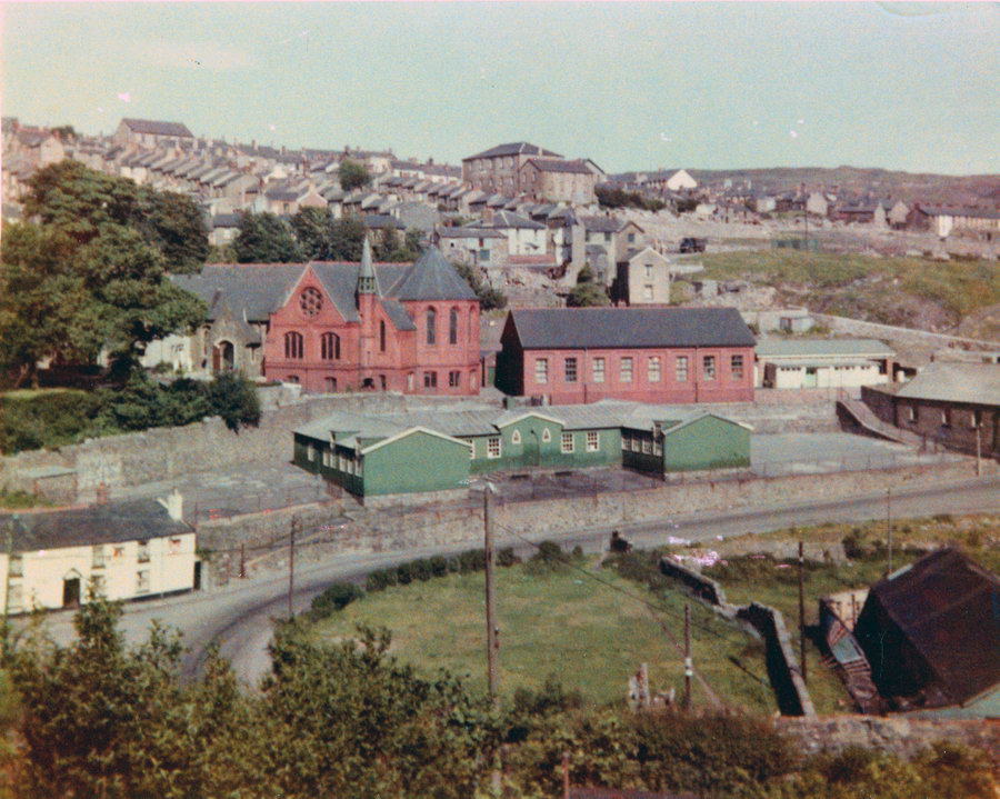
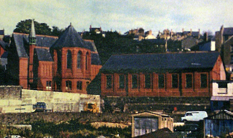
St Illtyd's Church, Church Hall and School in the early 1960s.
(Photograph courtesy of Gareth Thomas) |
|
 |
|
| The old St. Illtyd's Girls
School. |
|
 |
| |
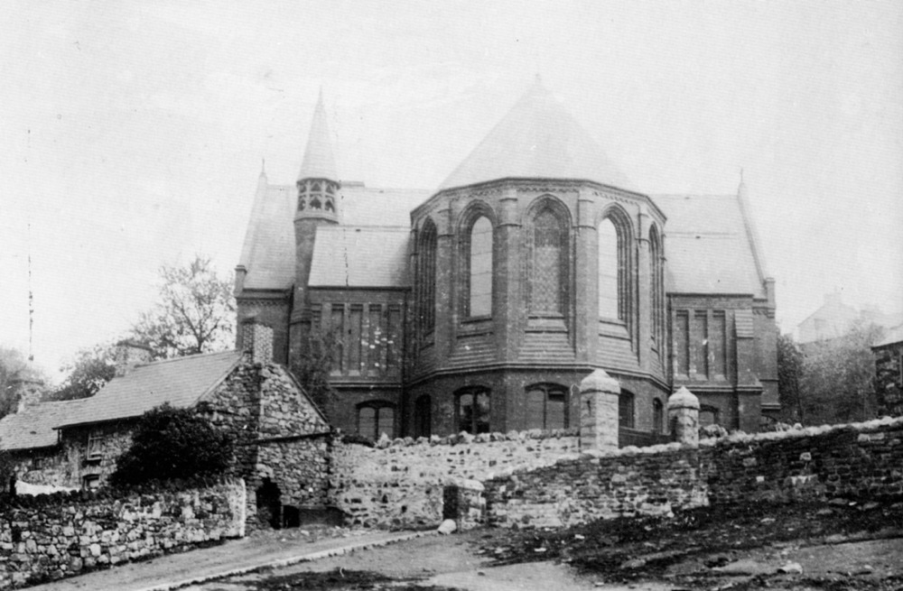
| St. Illtyd's R.C. Church |
|
 |
| |
|
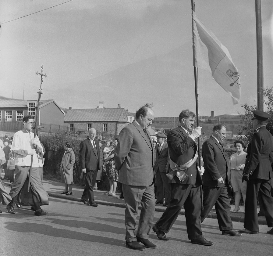
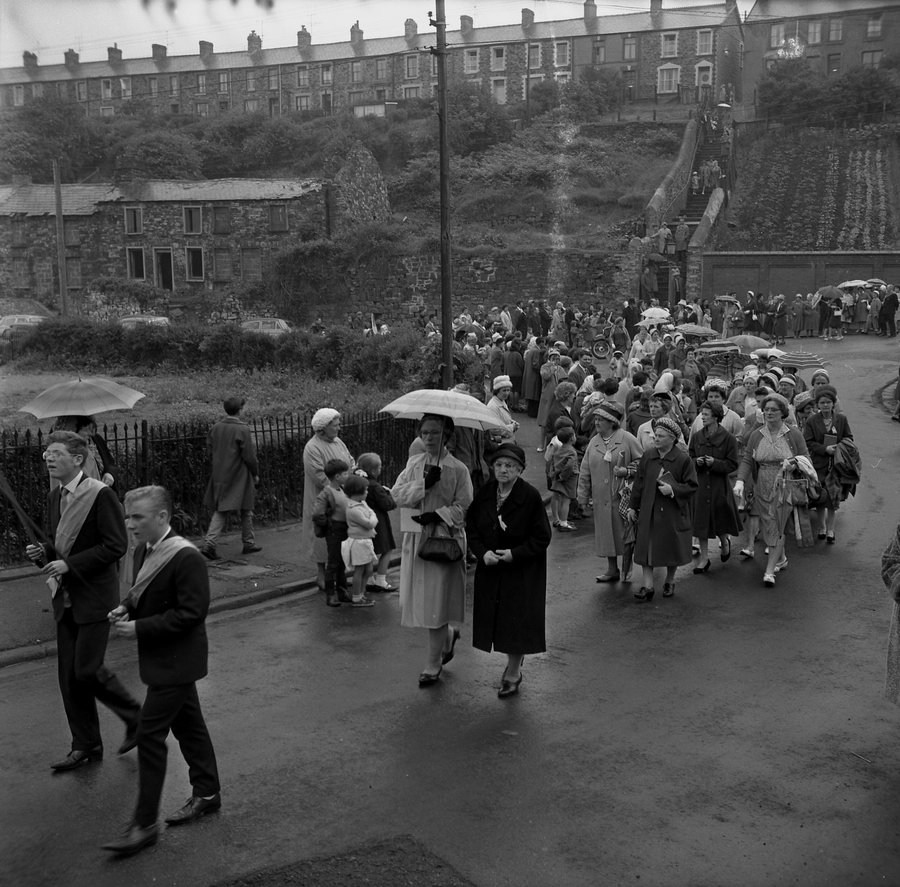
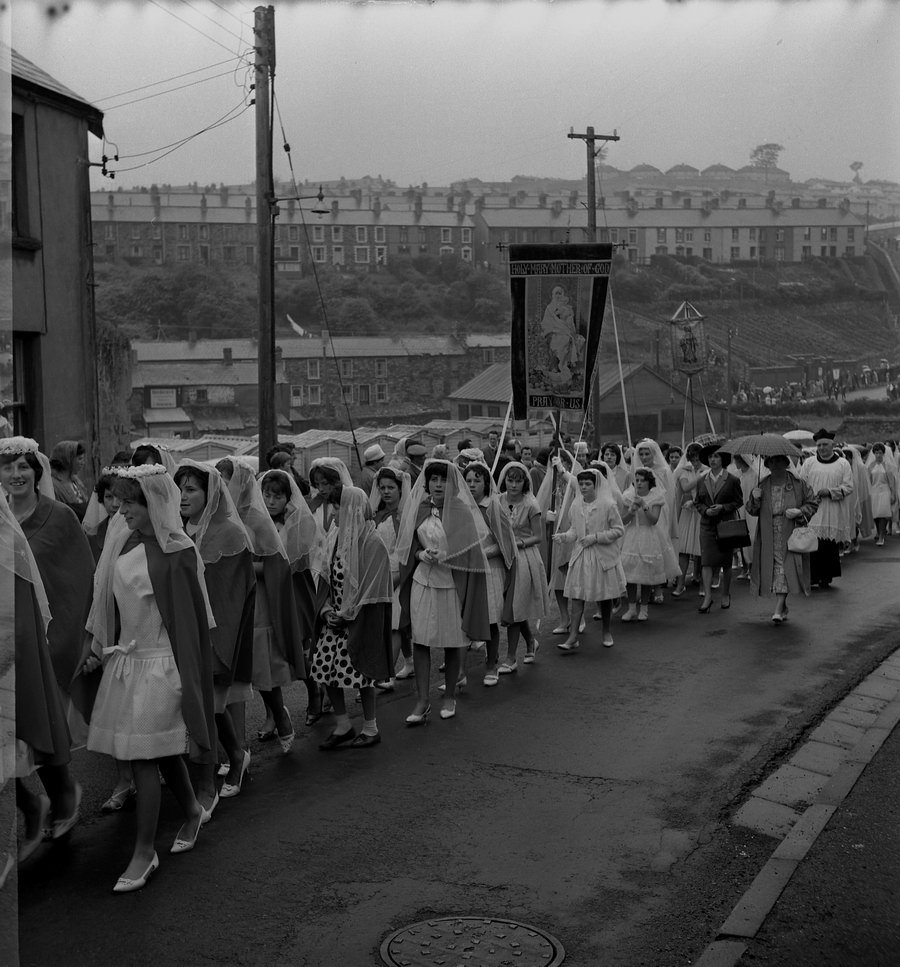
Corpus Christi 1963
Crossing the Bont towards St
Illtyds. There's a few faces that are instantly recognised. |
|
| |
|
|
Click
Here for
St.
Illtyd's Church
and
more
Corpus
Christi Parade |
|
|
| |
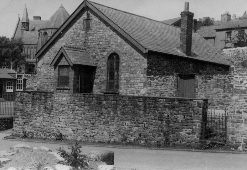
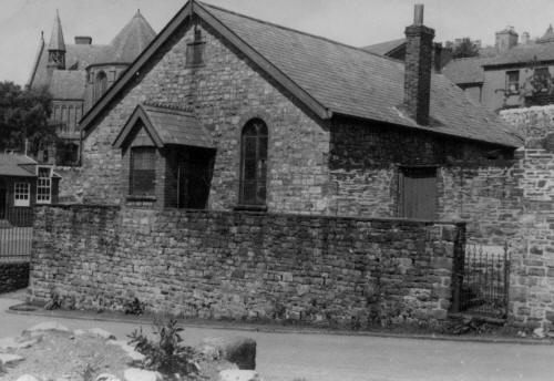
| Bethania Chapel, Bont Schoolroom. |
|
 |
| |
|
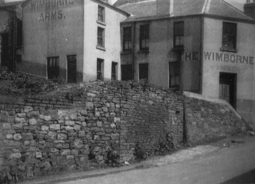
The Wimborne Arms, Dowlais |
|
|
|
| |
|
In the middle of this Aerial view,
in front of the Brewer's Arms is the site of the old Gellifaelog Bridge, which crossed the
Morlais Brook. The Bridge was removed when the brook was culverted,. Brewery
Road and Beech Terrace can be seen, to the left of the Brewers Arms. |
|
 |
| |
| |
|
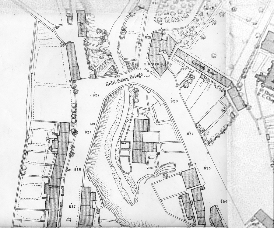
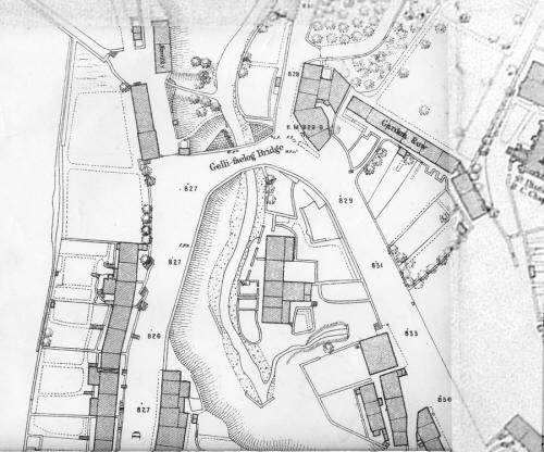
This extract from the 1875 OS
map shows the position of the old Gellifaelog Bridge that took the main road from Merthyr to
Dowlais across the Morlais Brook. |
|
 |
| |
|
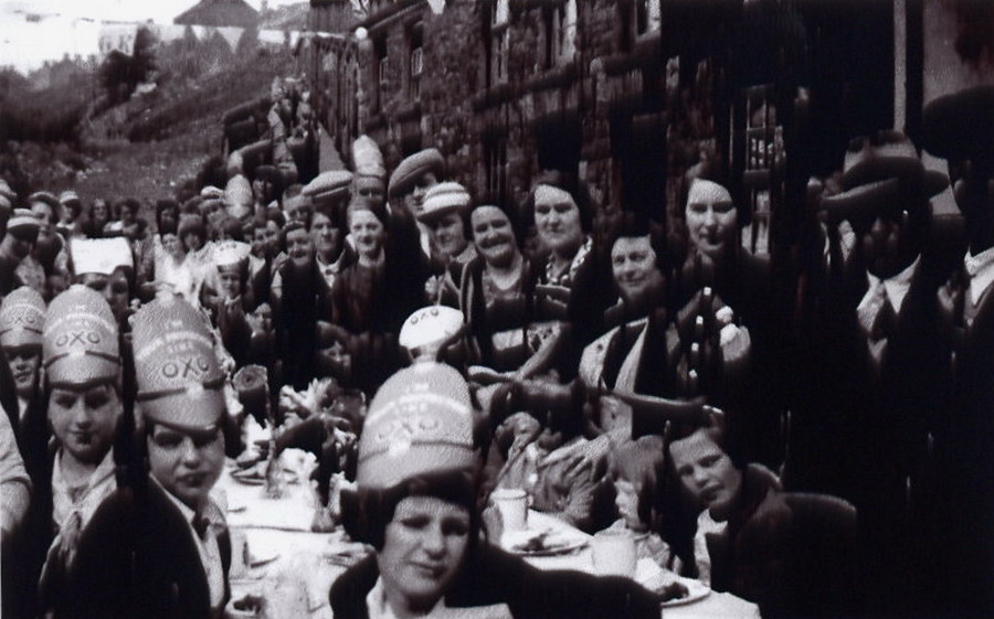
Beech Terrace, Coronation
Street Party, 1937-38.
(Photograph by
Bryn Harries, courtesy of Mal Harries) |
|
 |
|
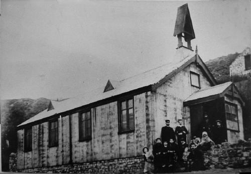
| St. Luke's Mission Church. |
|
 |
| |
|
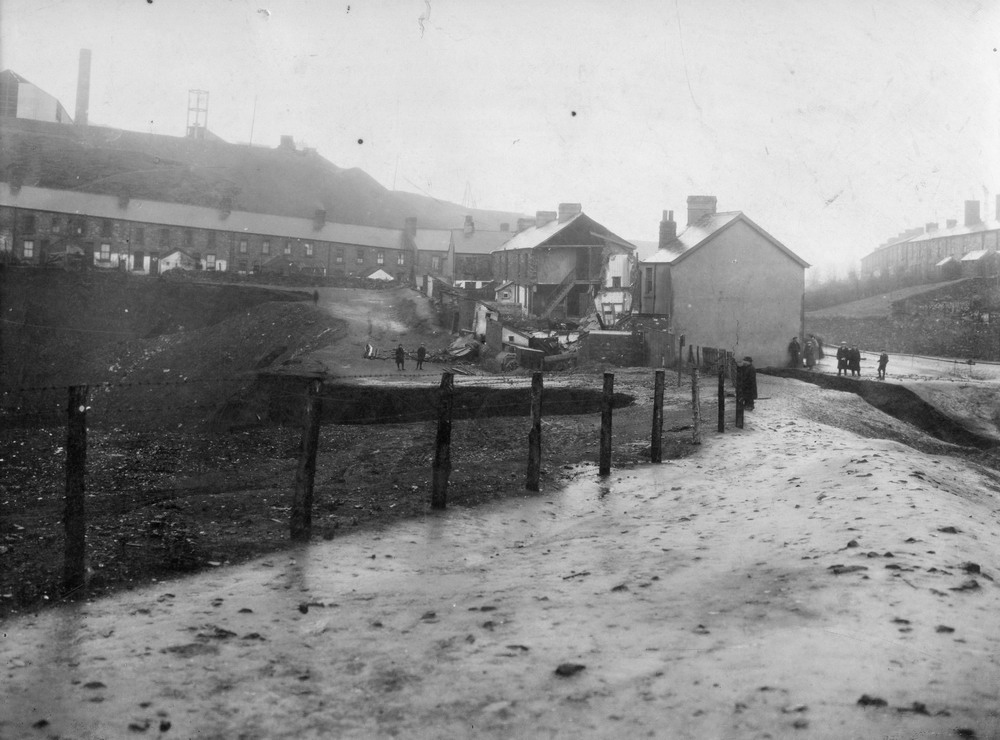
Gellifealog Flooding Disaster
- December 1922
The Morlais Brook
culvert overflowed causing a flood which destroyed most of the houses in
Mansfield Terrace (Penydarren NOT Mountain Hare)
(Photograph
courtesy of the John Owen collection) |
|
 |
| |
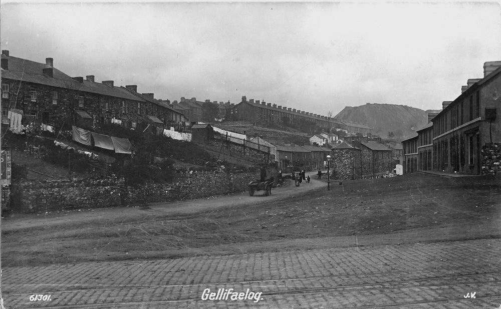
| Gellifaelog Road - From the bottom of New Road |
|
|
|
Do you have
any photographs or information relating to The Bont, Merthyr Tydfil?
If so,
please contact us, by clicking the 'Contact Us' button. |
|
|