![]()
![]()
![]()
![]()
![]()
![]()
|
Thomastown |
|||||||
|
Merthyr Tydfil |
|||||||
|
<click on the photograph to enlarge> |
|||||||
|
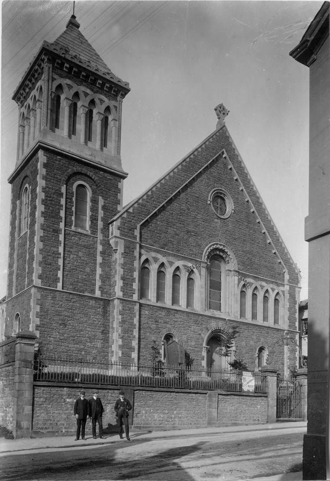
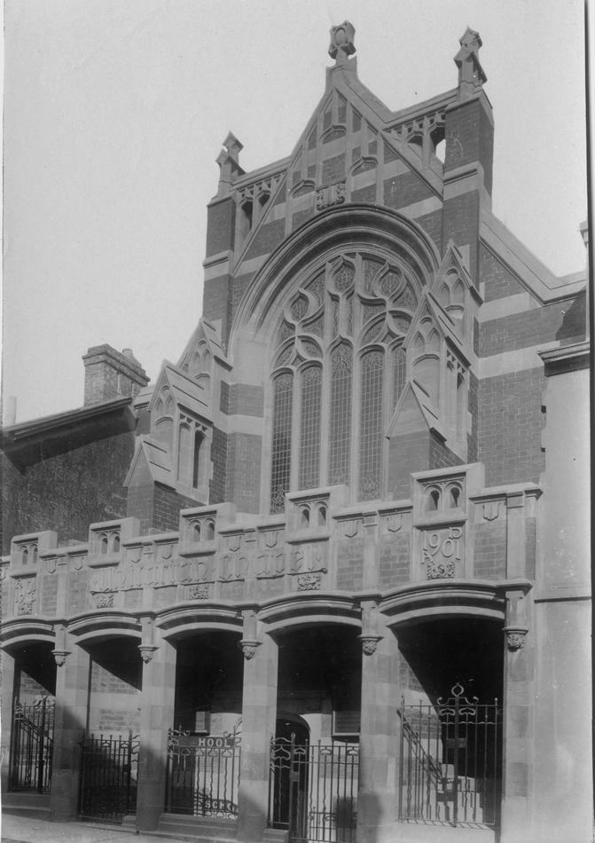
Siloh Chapel - 1901 Later to become the Miners Hall. (Photograph by Harris & Son Courtesy of the Leo Davies Collection) |
|||||||
|
|
|||||||
|
|
|||||||
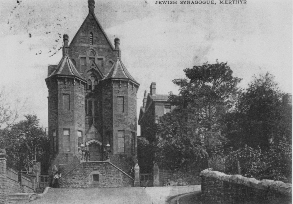
| The Jewish Synagogue | |||||||
|
|
|||||||
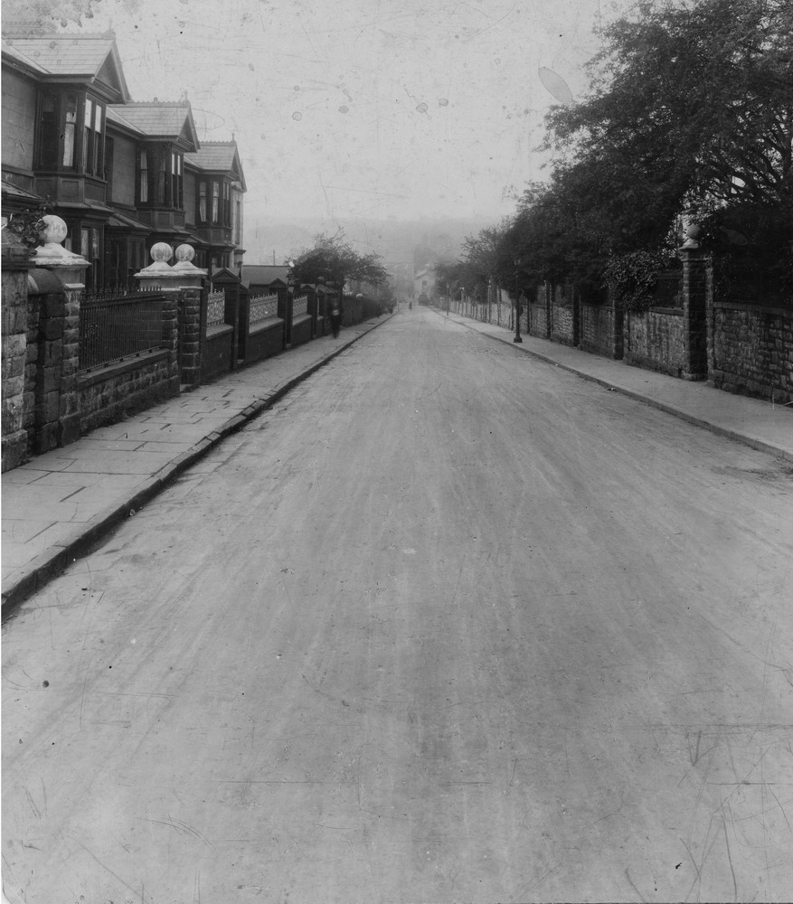
| Courtland Terrace | |||||||
|
|
|||||||
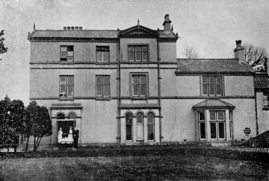
| Sandbrook House | |||||||
|
|
|||||||
|
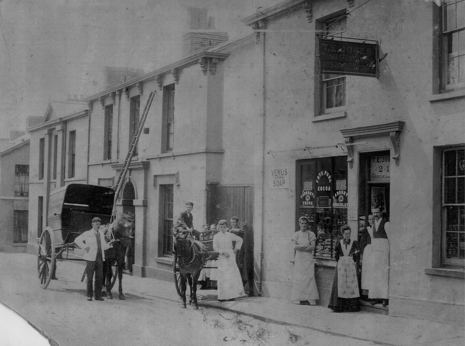
Thomas Street Does anyone know this occasion? |
|||||||
|
|
|||||||
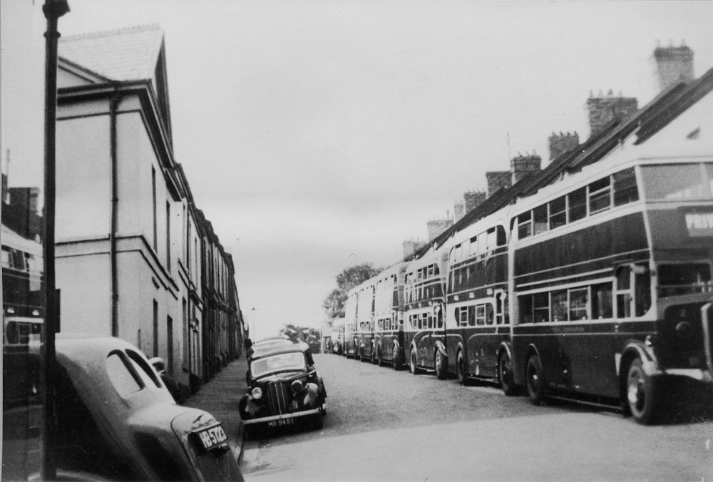
| Lower Thomas Street - 1898 | |||||||
|
|
|||||||
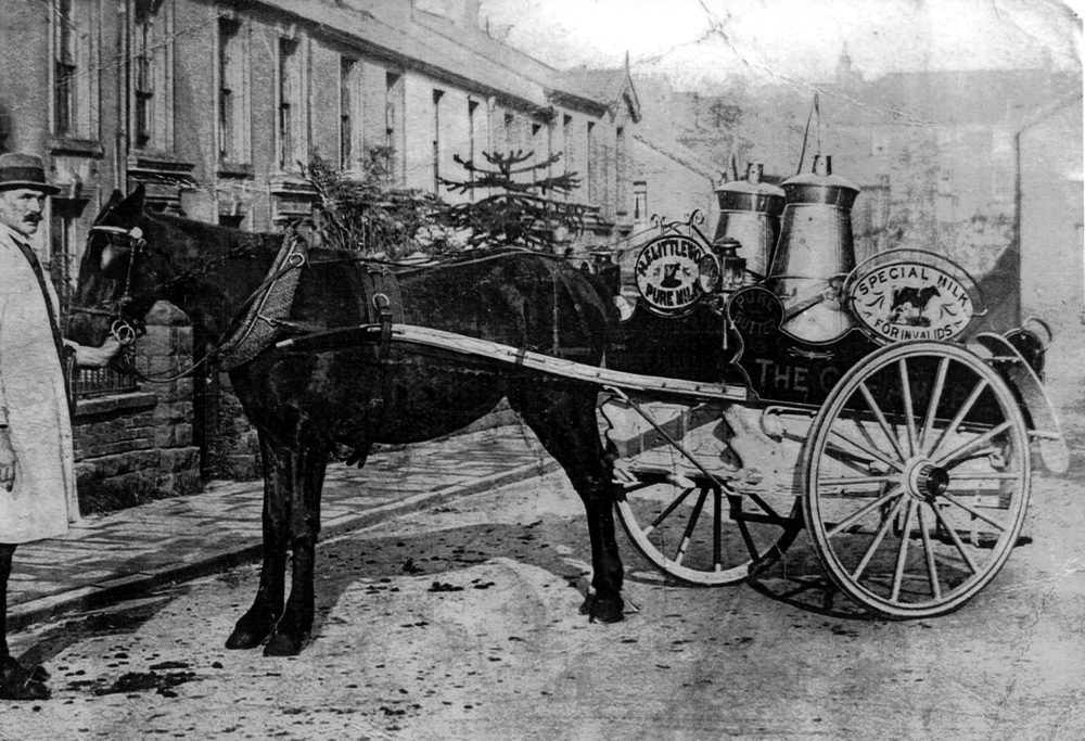
| Union Street, Mr Littlewood, Milkman | |||||||
|
|
|||||||
|
The Unitarian Chapel - 1901 (Photograph by Harris & Son Courtesy of the Leo Davies Collection) |
|||||||
|
|
|||||||
|
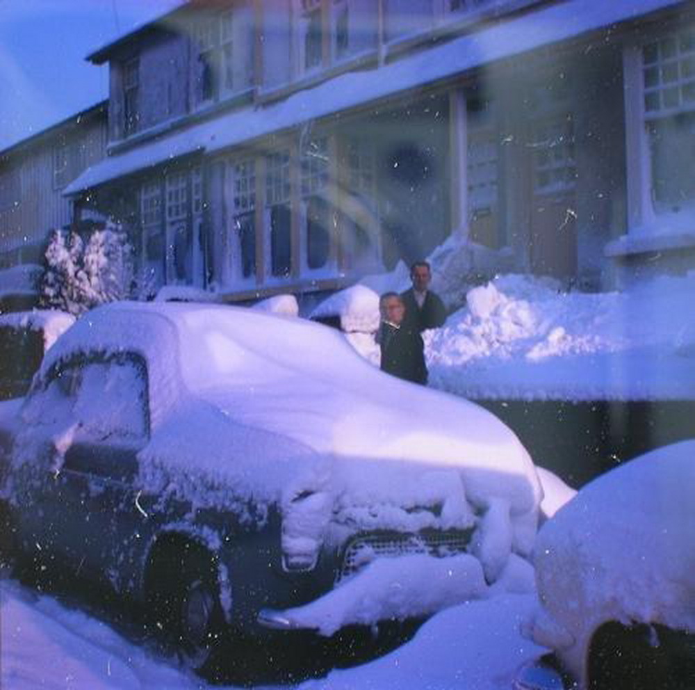
Summerhill In The Snow- 1963 (Photograph courtesy of Allison Allen) |
|||||||
|
|
|||||||
|
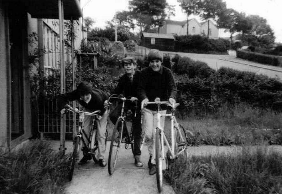
The old farm at the top of the hill, is now the site of a new housing development with Cyfarthfa High School (Upper School building) to the left. L-R: Ken Williams, John Smith & Christopher Bradley. (Photograph Courtesy of John Smith) |
|||||||
|
|||||||
|
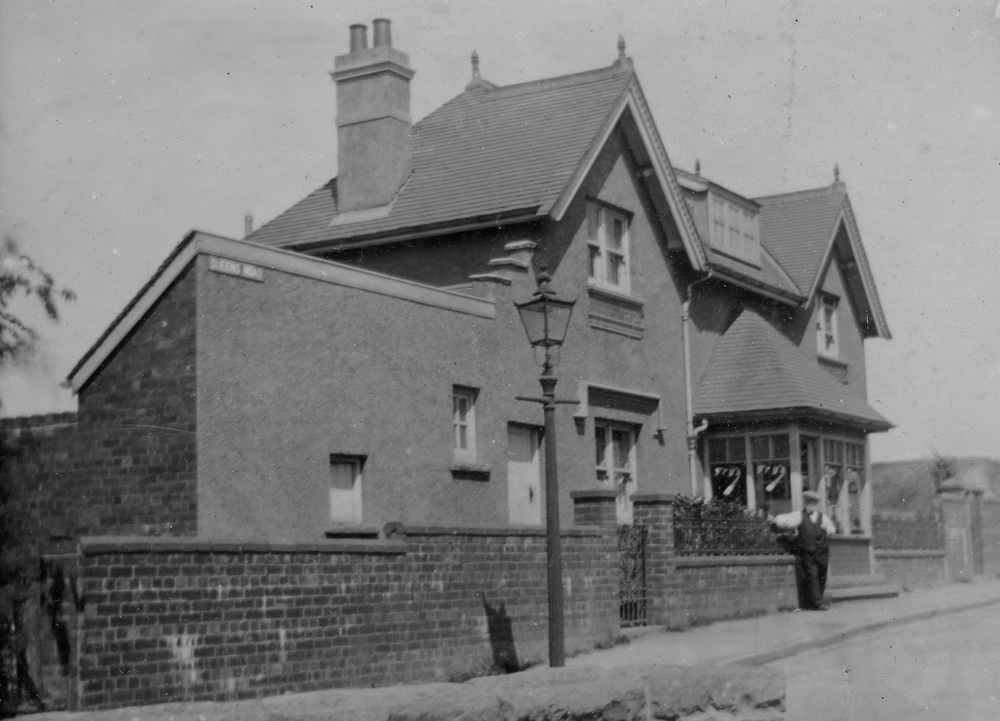
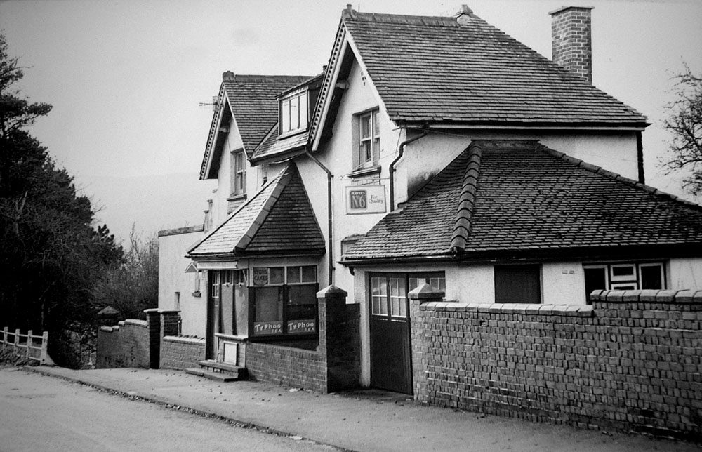
Queen's Road -'The Park Shop', Councillor Evans standing. (Photograph courtesy of Geoff Matsell) |
|||||||
|
|
|||||||
| Queen's Road -'The Park Shop' | |||||||
|
|
|
||||||
 |
|||||||
 |
|||||||
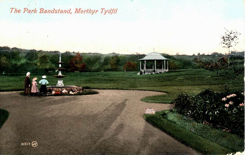
| Thomastown Park | |||||||
|
|
|||||||
|
Do you have any photographs or information for this page? If so, please email us, by clicking the 'Contact Us' button. |
|||||||
|
To the Map |
|||||||
|
|
|||||||