|
The Iron Bridge |
|||||||||||||||||||||||||||
|
and Area |
|||||||||||||||||||||||||||
|
<Click on the photograph to Enlarge> |
|||||||||||||||||||||||||||
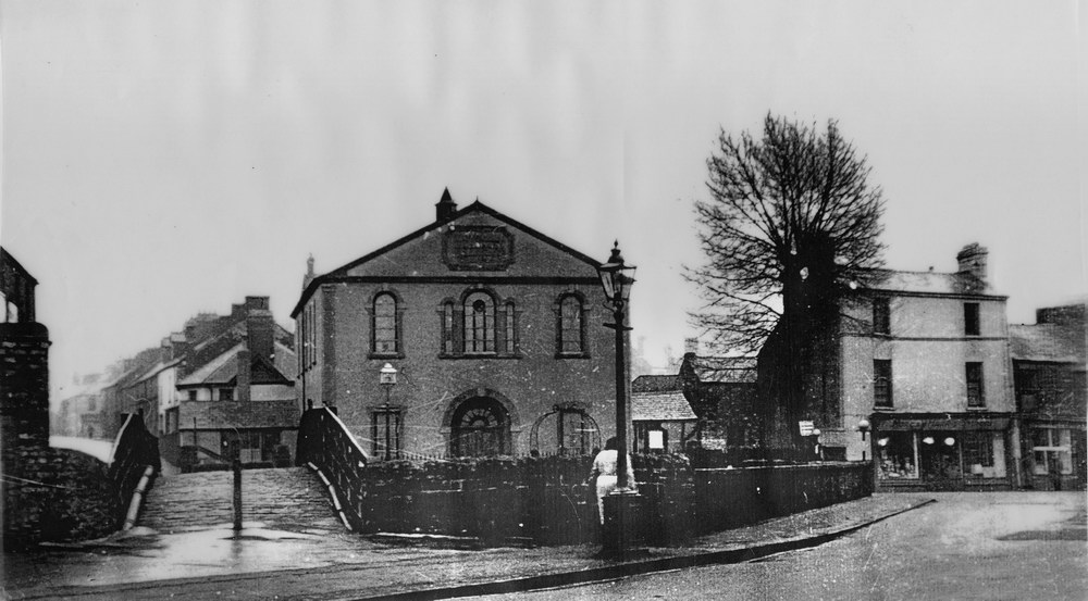
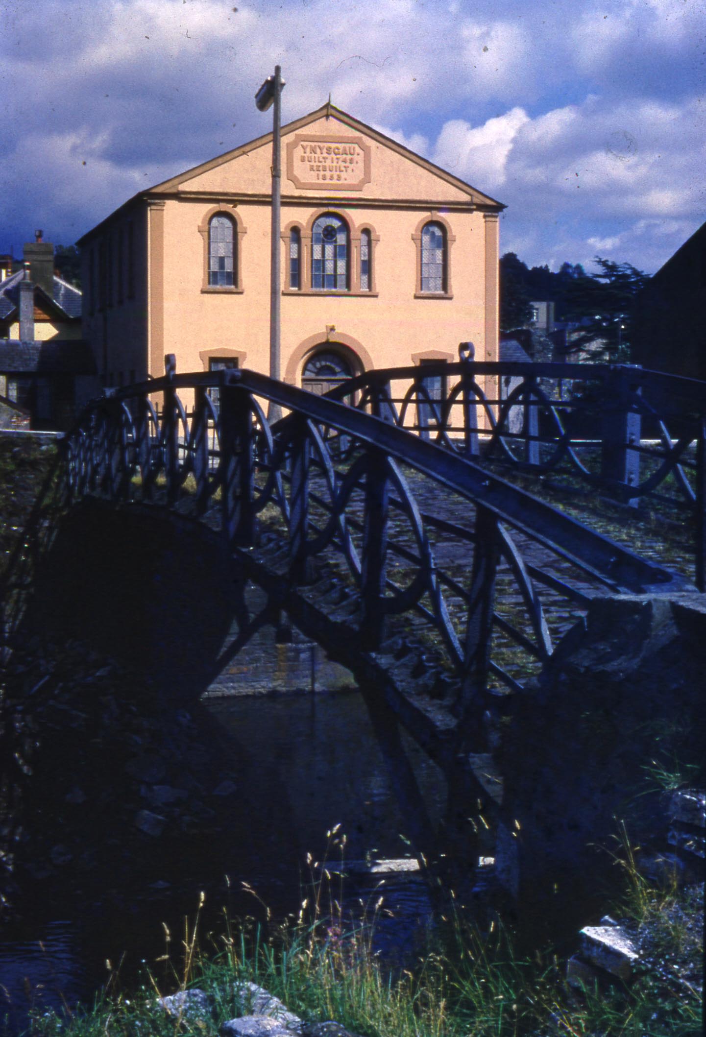
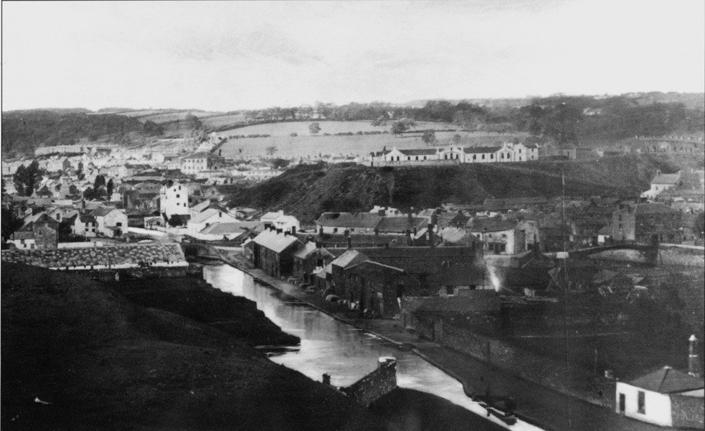
| Ynysgau Chapel and the Old Iron Bridge. | |||||||||||||||||||||||||||
|
|||||||||||||||||||||||||||
|
|||||||||||||||||||||||||||
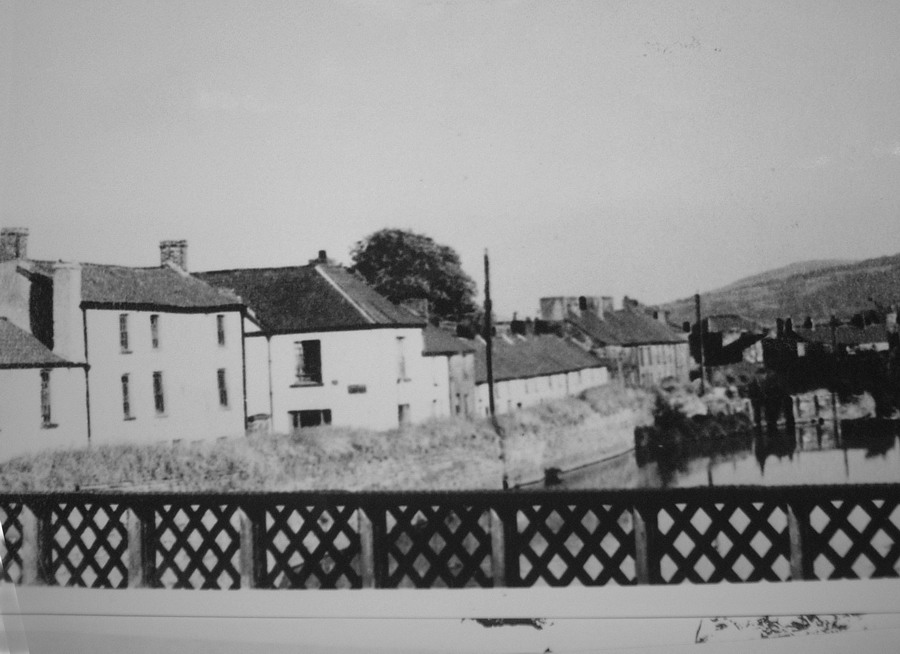
| Ynysgau Chapel Ironbridge 1960's | |||||||||||||||||||||||||||
| (courtesy of Mansell Richards) | |||||||||||||||||||||||||||
|
|
|||||||||||||||||||||||||||
|
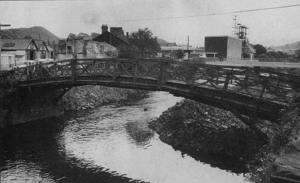
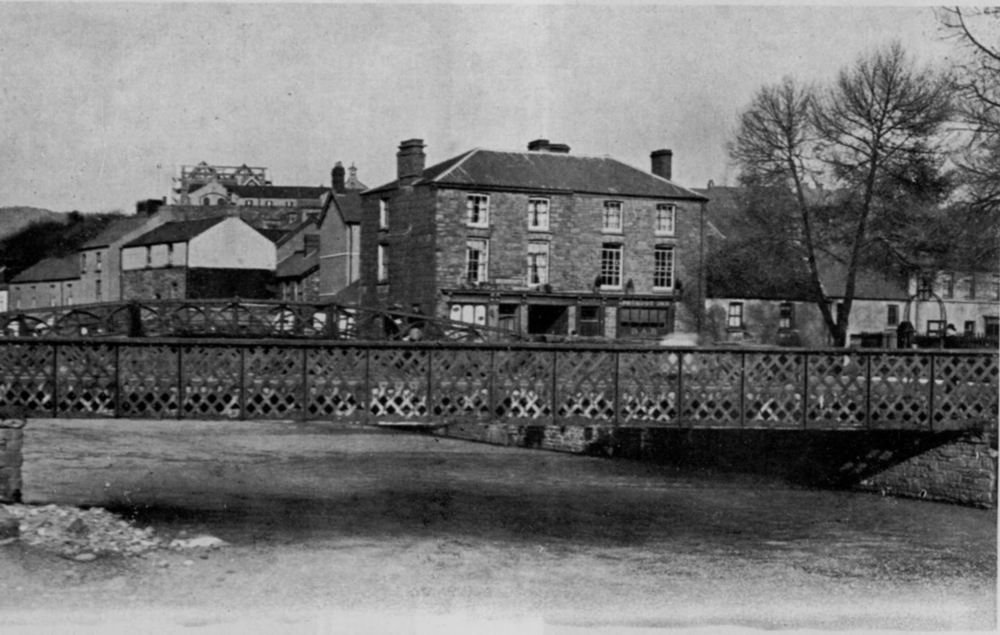
Old Iron Bridge, 1963. The old Iron Bridge, commissioned and paid for by Richard Crawshay. Designed and built by Mr. Watkyn George, the principal engineer of the Cyfarthfa Iron Works. Work on the bridge started in the middle of 1799 and was completed in the middle of 1800. |
|||||||||||||||||||||||||||
|
|
|||||||||||||||||||||||||||
|
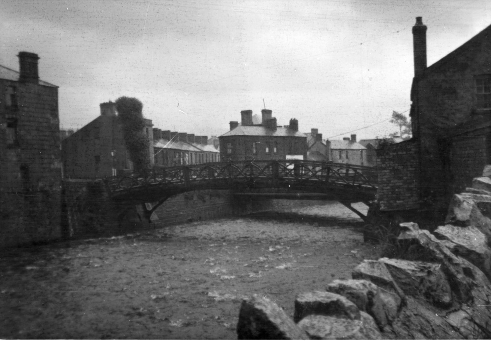
Old Iron Bridge, looking south (Photograph courtesy of Patrick Parry) |
|||||||||||||||||||||||||||
|
|
|||||||||||||||||||||||||||
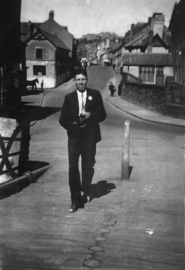
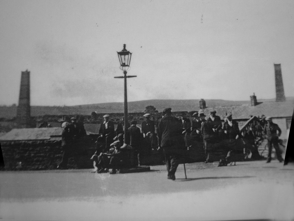
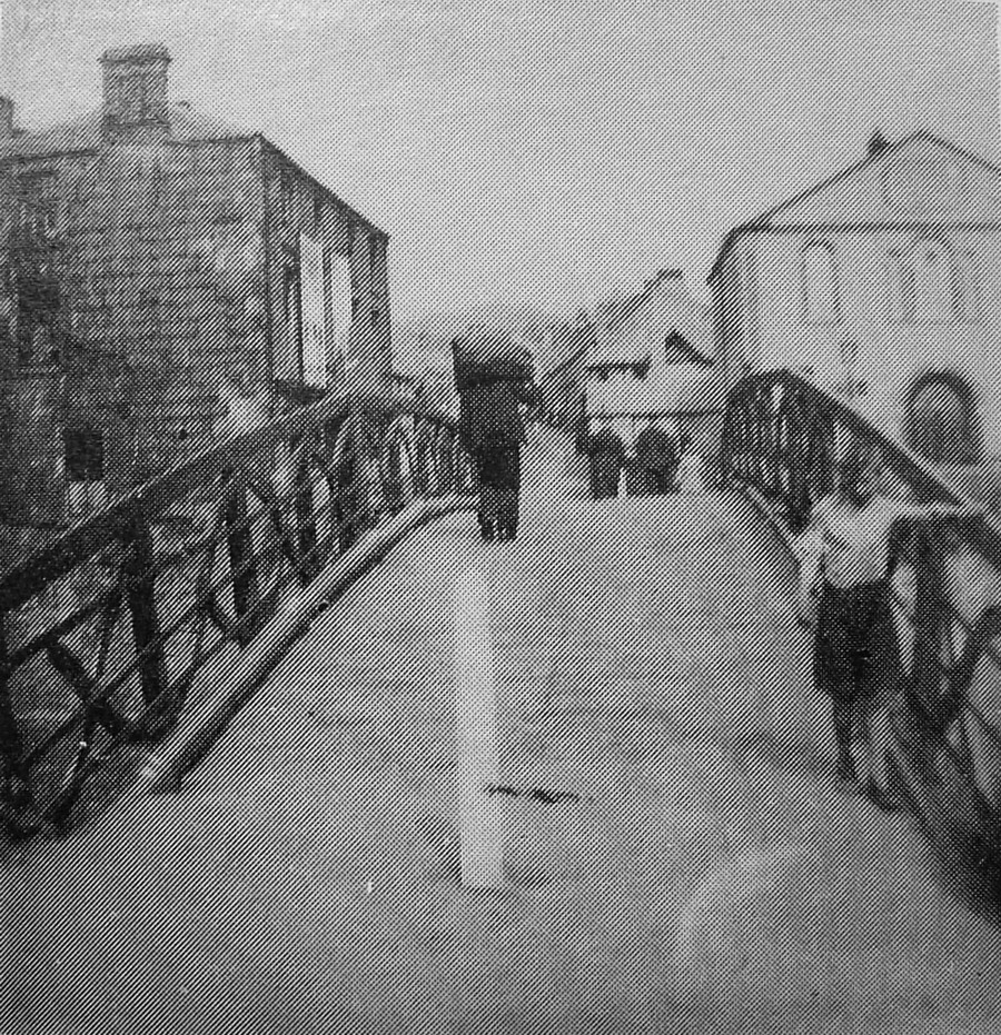
| On The Ironbridge in the 1940s | |||||||||||||||||||||||||||
|
|||||||||||||||||||||||||||
| The Old Iron Bridge. | |||||||||||||||||||||||||||
|
|
|||||||||||||||||||||||||||
|
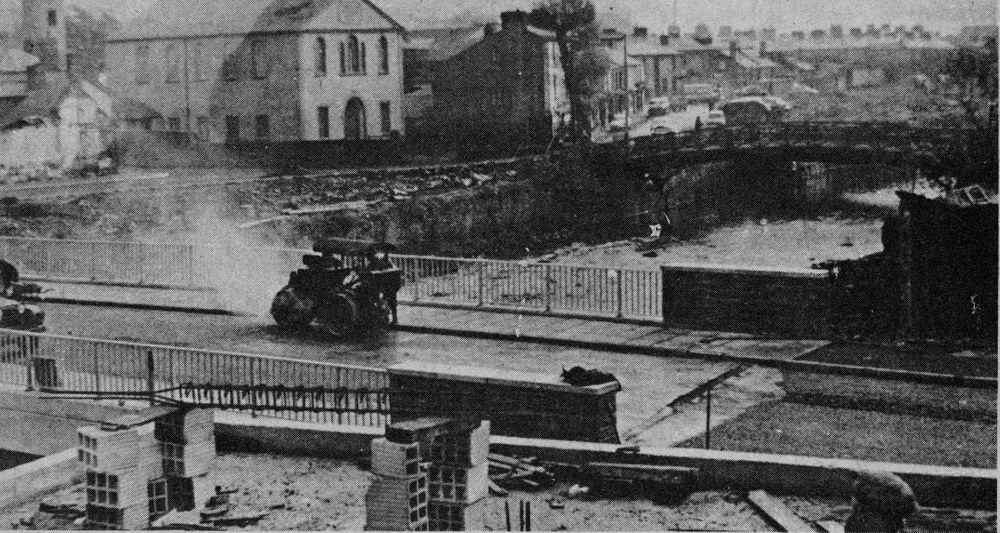
Iron Bridges from Castle Street - 1958c A similar photograph to the one above, but taken in the 1950's showing both the new iron bridge on the left hand side and the old iron bridge. (Photograph by Dennis Quinlan, Courtesy of June Quinlan) |
|||||||||||||||||||||||||||
|
|
|||||||||||||||||||||||||||
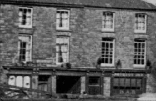
| The New Iron Bridge. | |||||||||||||||||||||||||||
|
In the middle of the large building can be seen the infamous ARCH, which led to Riverside . On the right hand side of the building is the Patriot Inn. Abermorlais School is in the background with scaffolding around it. The large trees are in the grounds of Ynysgau Chapel. |
|||||||||||||||||||||||||||
|
|||||||||||||||||||||||||||
| The Iron Bridge. | |||||||||||||||||||||||||||
|
|
|||||||||||||||||||||||||||
| Building the New Iron Bridge. | |||||||||||||||||||||||||||
|
|
|||||||||||||||||||||||||||
 |
|||||||||||||||||||||||||||
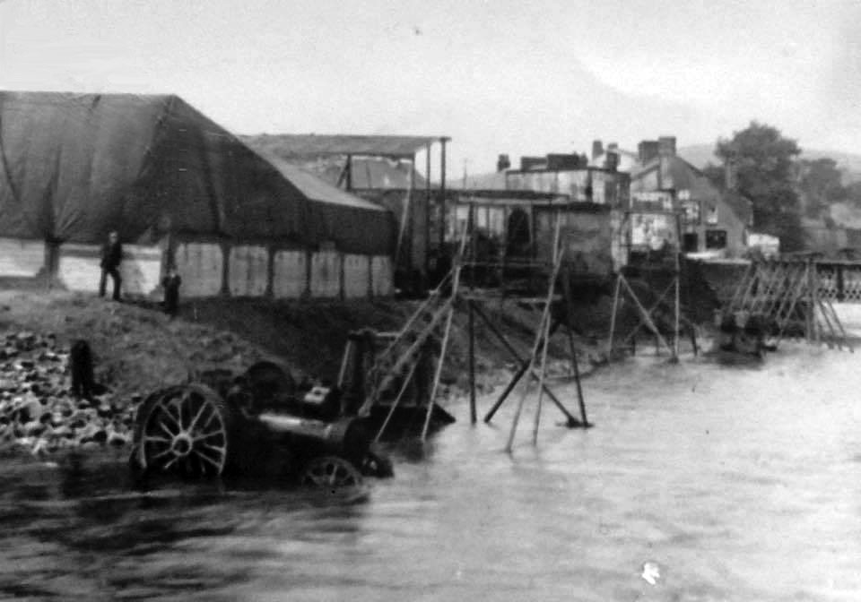
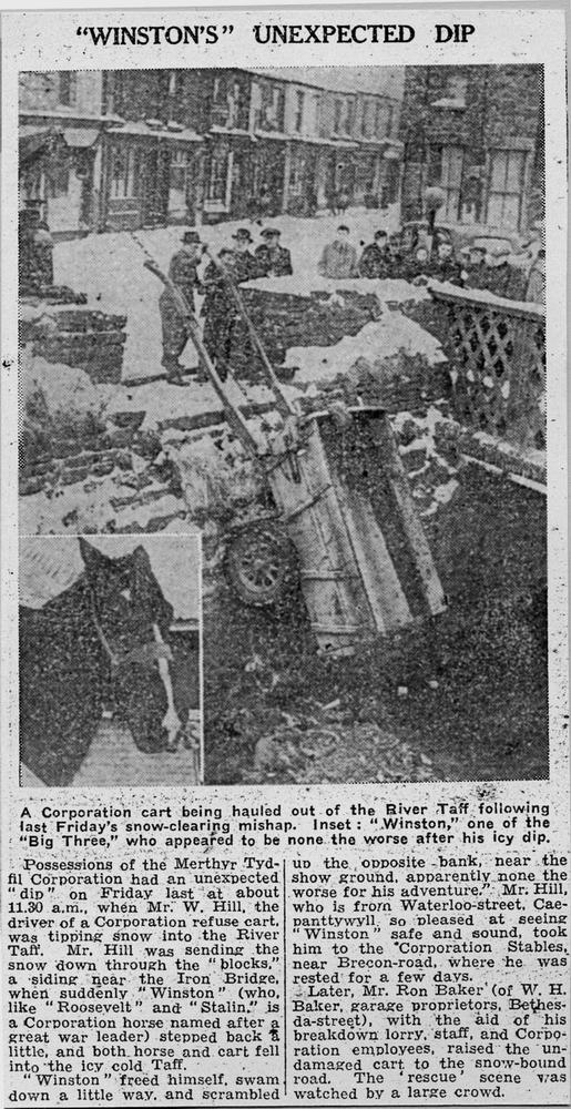
| Sidney White's Shows at the Iron Bridge During a Flood in 1908. | |||||||||||||||||||||||||||
|
|
|||||||||||||||||||||||||||
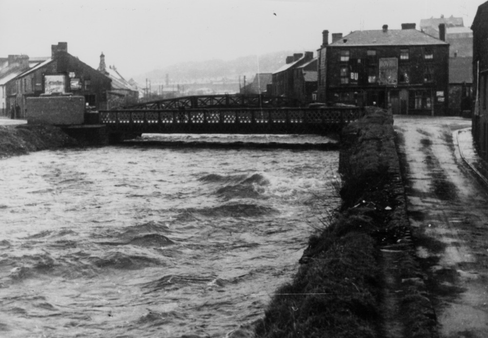
The Iron Bridge -
1939. The Taff almost in flood. Bridge Street on the right
hand side.
|
|||||||||||||||||||||||||||
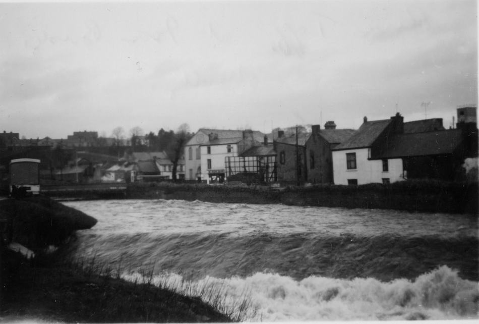
|
River Taff In Flood, Easter 1960. (photograph courtesy of Clive Bevan) |
|
||||||||||||||||||||||||||
|
|
|||||||||||||||||||||||||||
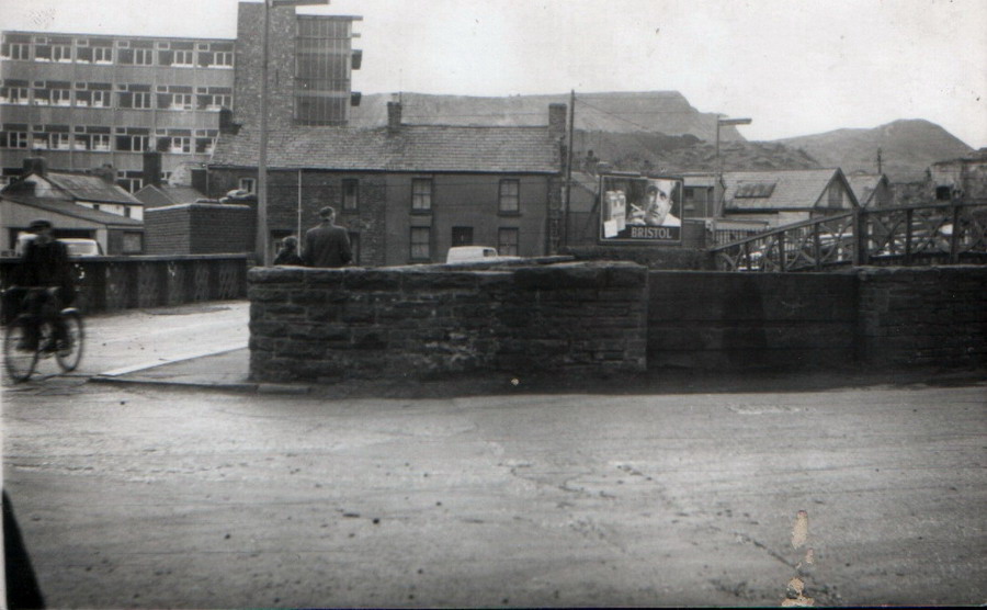
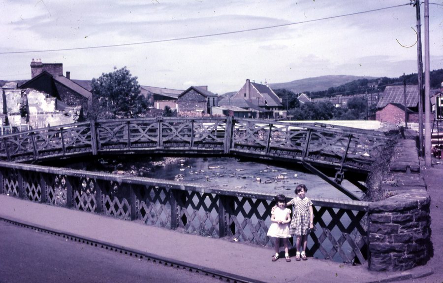
|
The old and new Iron bridges. June 1962. (Photograph courtesy of Robert Thomas, West Grove) |
|||||||||||||||||||||||||||
|
|
|||||||||||||||||||||||||||
|
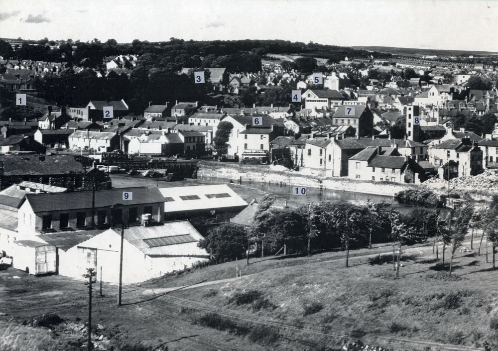
The Glamorganshire Canal, Parliament Lock. Several points of interest here. Abermorlais School on top of the tip that was the waste from the Penydarren Iron Works.It was called the British Tip by everybody because the school was originally called the British School.The land in the foreground is now the site of the College.The tall white building left of the tip is the original Taff Vale Brewery which moved up to Danyparc in 1904.Behind the brewery on the east side of the river is the area known as China, notorious for its villains and undesirables. |
|||||||||||||||||||||||||||
|
|
|||||||||||||||||||||||||||
|
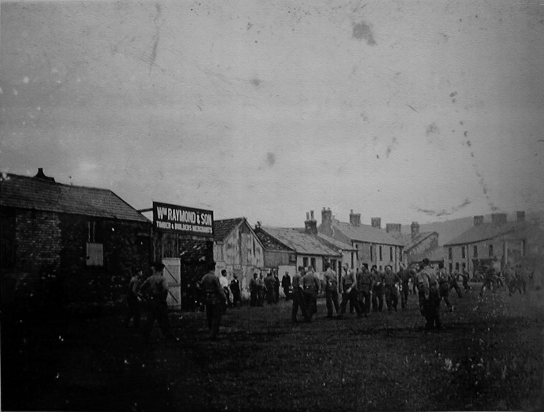
Canal Side in the 1920's. This photograph is set up, for an exhibition At Dowlais, for the benefit of the unemployed. It shows the houses of Canal Square, Buildings that became Wm Raymond & Sons. and the Merthyr Laundry in the distance, which became Triumph Business Systems (TBS). |
|||||||||||||||||||||||||||
|
|
|||||||||||||||||||||||||||
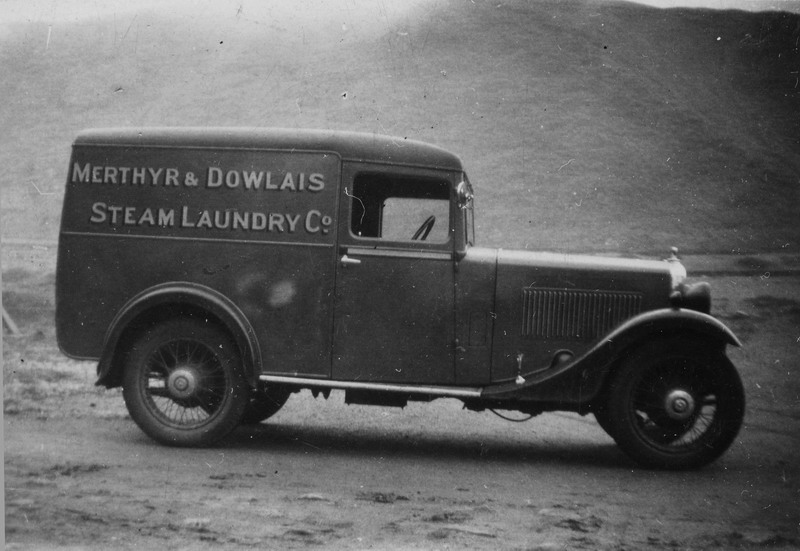
| Canalside and the old Merthyr Laundry. | |||||||||||||||||||||||||||
|
|||||||||||||||||||||||||||
| Merthyr Laundry Again, this time the building is occupied by T.B.S. (Triumph Business Systems) | |||||||||||||||||||||||||||
|
|
|||||||||||||||||||||||||||
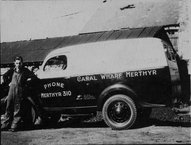
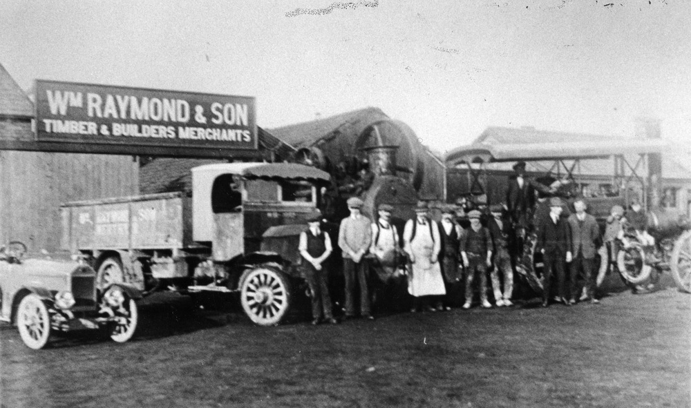
| Wm Raymond & Sons, Timber & Builders Merchants, Canal Wharf. | |||||||||||||||||||||||||||
|
|
|||||||||||||||||||||||||||
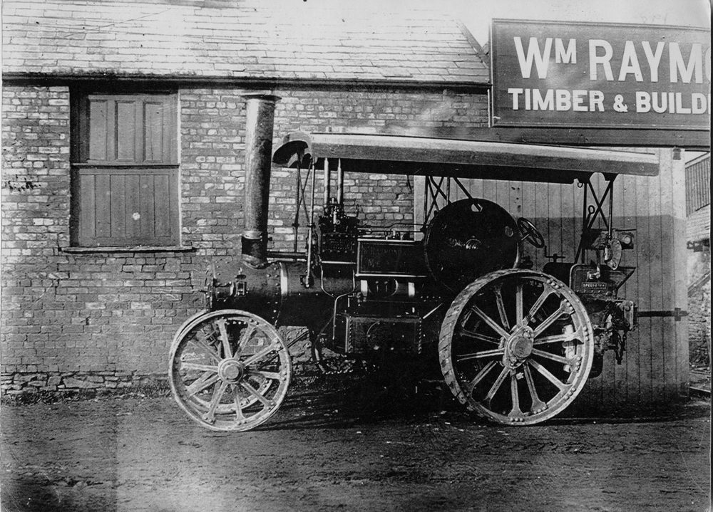
| A Garrett 4CD Steam Tractor outside Raymonds Yard. | |||||||||||||||||||||||||||
|
|
|||||||||||||||||||||||||||
| Wm Raymond & Sons, Timber & Builders Merchants, Canal Wharf. | |||||||||||||||||||||||||||
|
|
|||||||||||||||||||||||||||
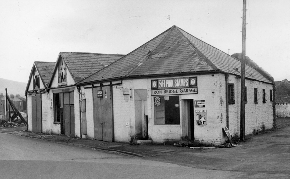
|
Iron Bridge Garage (Photograph Courtesy of Ken M McDonald) |
|||||||||||||||||||||||||||
|
|
|||||||||||||||||||||||||||
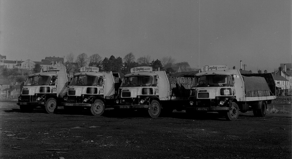
|
Gayday Pop Lorries, parked on the waste ground that is now the old Albulance Station by the back entrance to the fire station. (Thanks to Peter Viktor Skoludek for identify the correct location of this photograph) |
|||||||||||||||||||||||||||
|
|
|||||||||||||||||||||||||||
|
Building Present Day River Bridge - Approx 1958 (Photograph Courtesy of June Quinlan) |
|||||||||||||||||||||||||||
|
|
|||||||||||||||||||||||||||
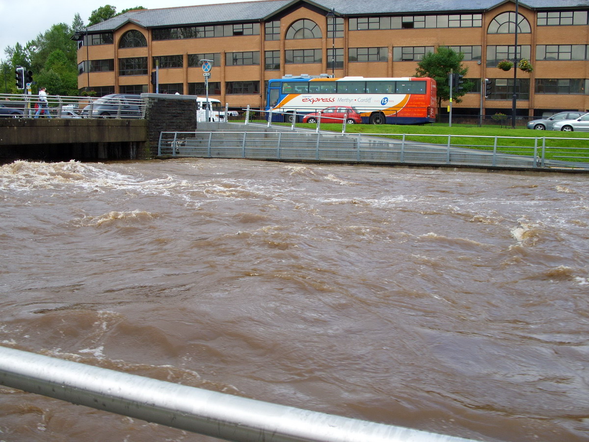
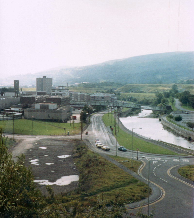
|
River Taff in Flood The bridge to the left is on the one shown in the photograph above, the Civic Centre is in the background (Photograph Courtesy of Philip Evans) |
|||||||||||||||||||||||||||
|
|
|||||||||||||||||||||||||||
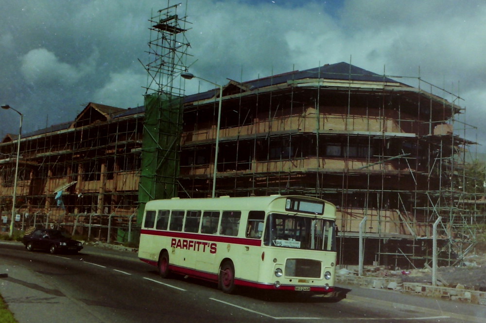
| Parfitt's Bus passing
the Civic Centre under construction
(Photograph courtesy of Glyn Bowen) |
|||||||||||||||||||||||||||
|
|
|||||||||||||||||||||||||||
| Avenue de Clichy before the new Town Hall (Civic Centre) | |||||||||||||||||||||||||||
|
|
|||||||||||||||||||||||||||
|
|||||||||||||||||||||||||||
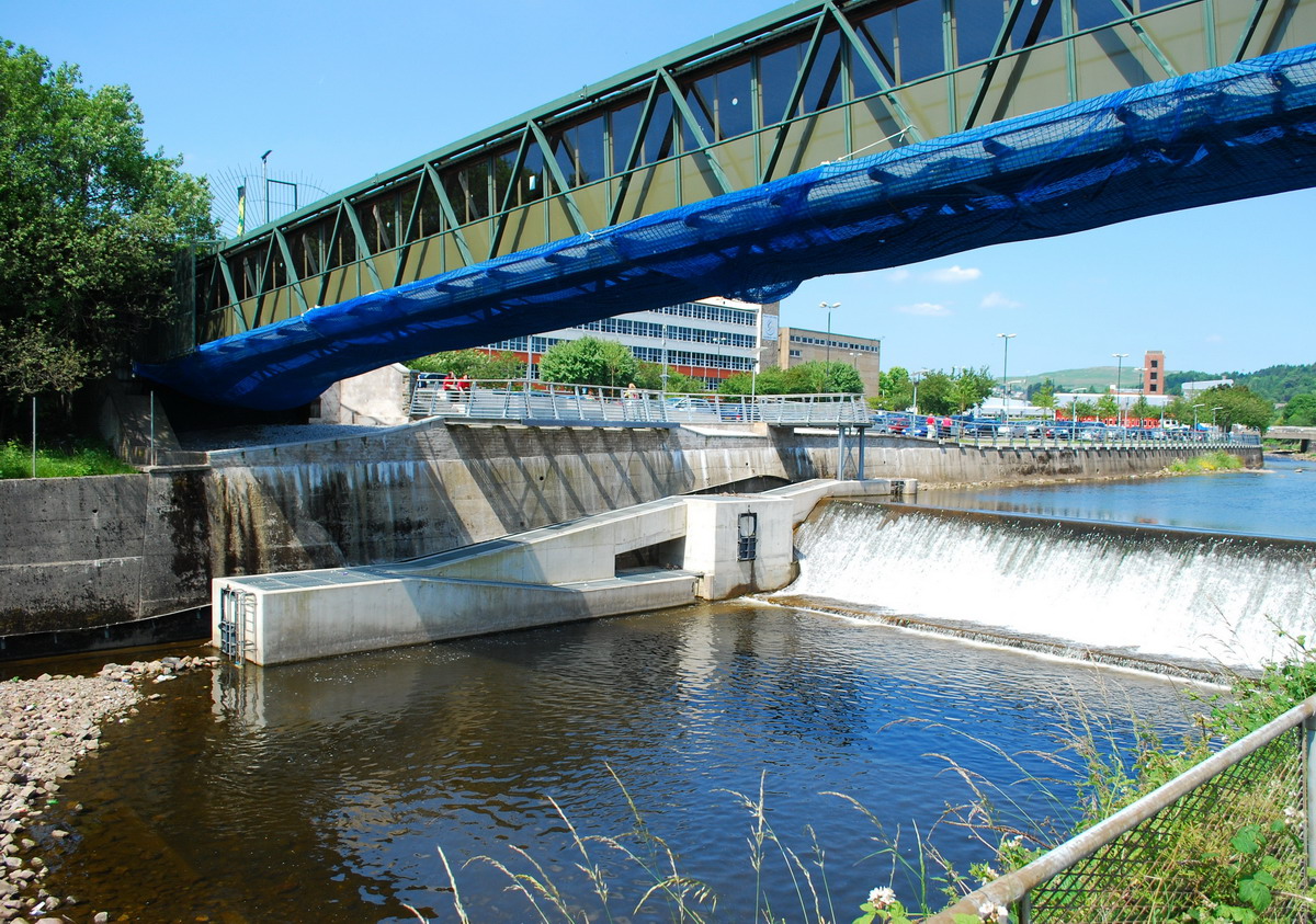
|
River Taff Footbridge & New Fish Pass - 2009 (Photograph Courtesy of Jamie Mahoney) |
|||||||||||||||||||||||||||
|
|
|||||||||||||||||||||||||||
|
Do you have any photographs or information relating to the Iron Bridge Area, Merthyr Tydfil? If so, please email us, by clicking the 'Contact Us' button. |
|||||||||||||||||||||||||||
|
|
|||||||||||||||||||||||||||
|
|
|||||||||||||||||||||||||||