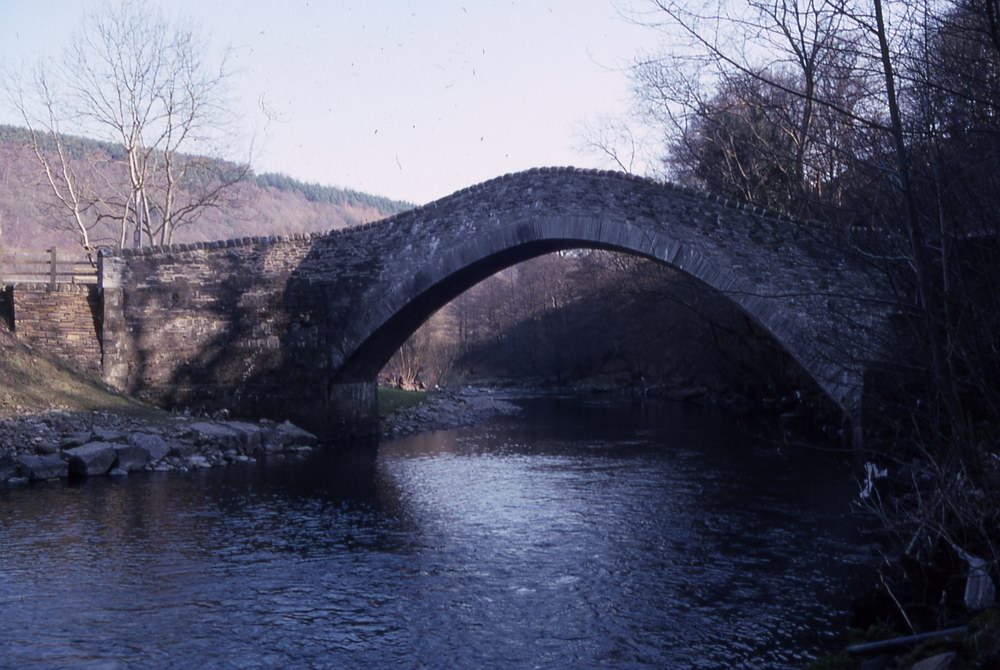
PONT Y GWAITH
In the nineteenth century the owner of the land here was Robert
Henry Clive.
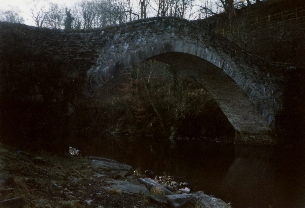
Pont y Gwaith had at least three ‘meanings’. It was the name of the
bridge across Afon Tâf linking the two hamlets of Forest and Taff &
Cynon. It was the name of the farm on the eastern side of the bridge
in the hamlet of Forest. It was the name of the small community that
used to exist on the western side of the bridge in the hamlet of
Tâff & Cynon. Gwaith has many meanings and can be ‘work’, Gweithfa
means ‘works’. Pont y Gwaith is the name of the bridge over Afon Tâf
by the old iron forge, furnace or smithy taking the ancient byway
across Afon Tâf. In short, Pontygwaith means the Bridge of the
Works.
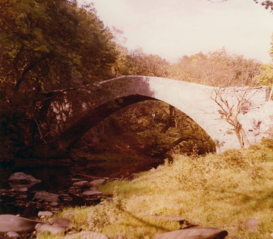
The bridge called Pont y Gwaith was illustrated on Emanuel Bowen’s
1729 Map of Southern Wales as one of three bridges in the valley
along with Pont yr Ynn and Pont Merthyr Tudful. Dadford’s 1790
Glamorgan Canal Map showed the area indistinctly as ‘Pontgwaith’.
George Yates’ 1799 Map of Glamorgan showed the bridge and road
crossing the valley from the Turnpike Road. The road bridge over the
railway near the canal was obviously more recent (mid-nineteenth
century). One version of the several bridges at this site,
Pont y Gwaith, was apparently built by William Edward of Eglwys Ilan,
who was active in the earliest constructions at Cyfarthfa
Works.
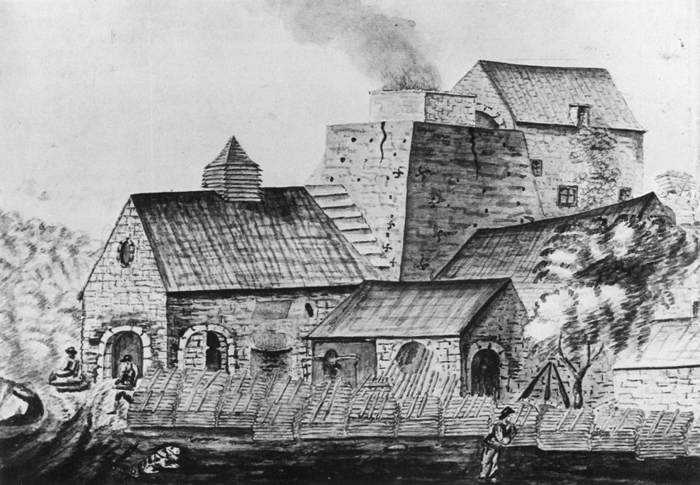
The simple forge or smithy near Pont y Gwaith, certainly not an
iron-works as in later centuries, was started possibly in the 1580s.
Why was there a small forge or smithy just at this particular place
from at least the sixteenth century onwards? There were no
ironstone workings nearby, although there were plenty of trees for
use as fuel. Where did the old smiths get the ironstone from? It is
possible that there were then far more attempts at small-scale
iron-making in this valley than local history books have recorded
and iron-making may have been quite common in the Taff Valley in the
time of Elizabeth I. The authors of The Story of Merthyr Tydfil,
page 158, recorded that an iron plate dated as early as 1478 was
found in the ruins of a small furnace on the banks of Afon Tâf near
Aber Canaid.
It seems that legislation in Parliament in the sixteenth century
which prevented the deforestation of the iron-producing areas of the
Weald in Kent and Sussex, resulted in some of the Sussex
iron-workers coming to this district to establish small furnaces and
forges here. They were clearly aware that this occupation had been
followed locally for many years before their arrival and that the
raw materials for iron making were available here; otherwise, why
would they have come? There were thick woods and so a ready source
of charcoal for the smelting process. Some local historians have
stated that these small forges and smith shops were started by a Mr.
Anthony Morley of Sussex and later of the nearby parish of Llanwynno,
possibly in the 1580s.
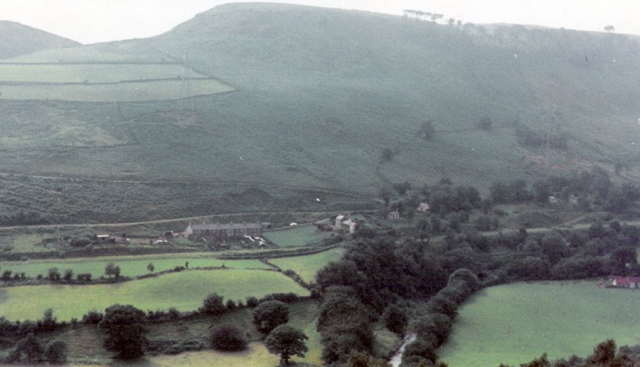
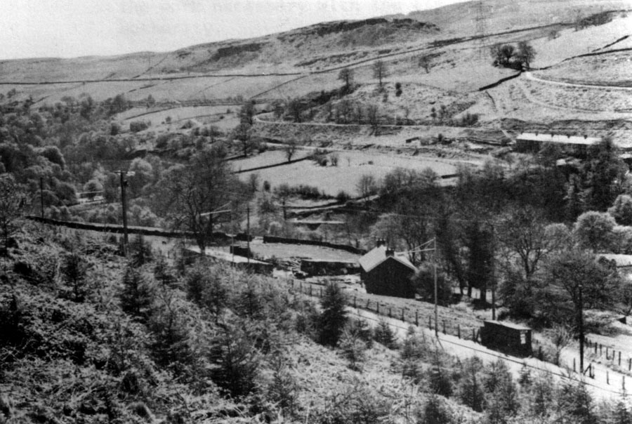
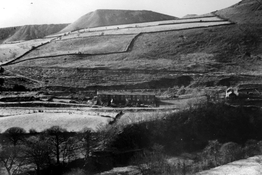
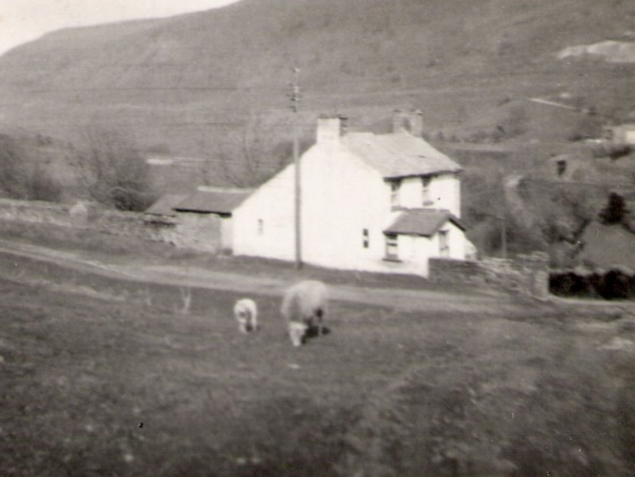
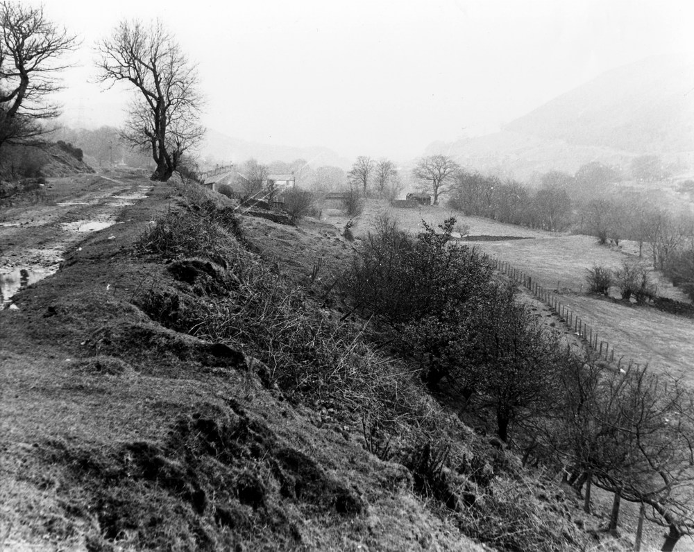
Tir Pont y Gwaith, the farm, was on the eastern side of the bridge
and river.
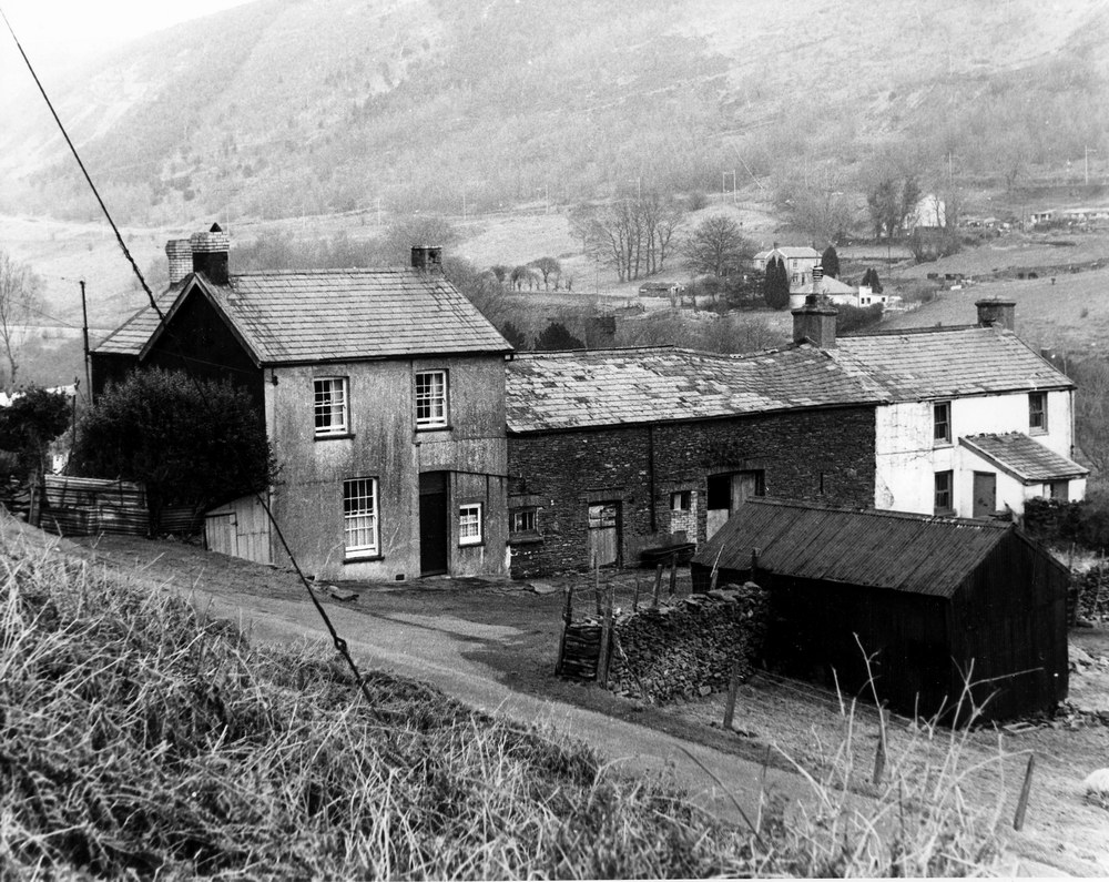
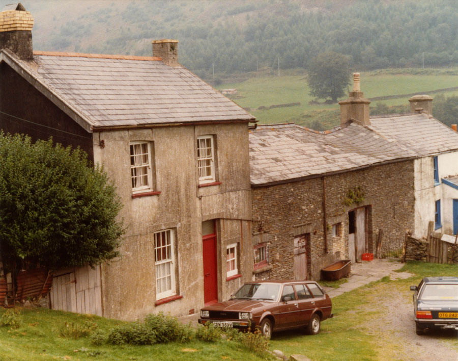
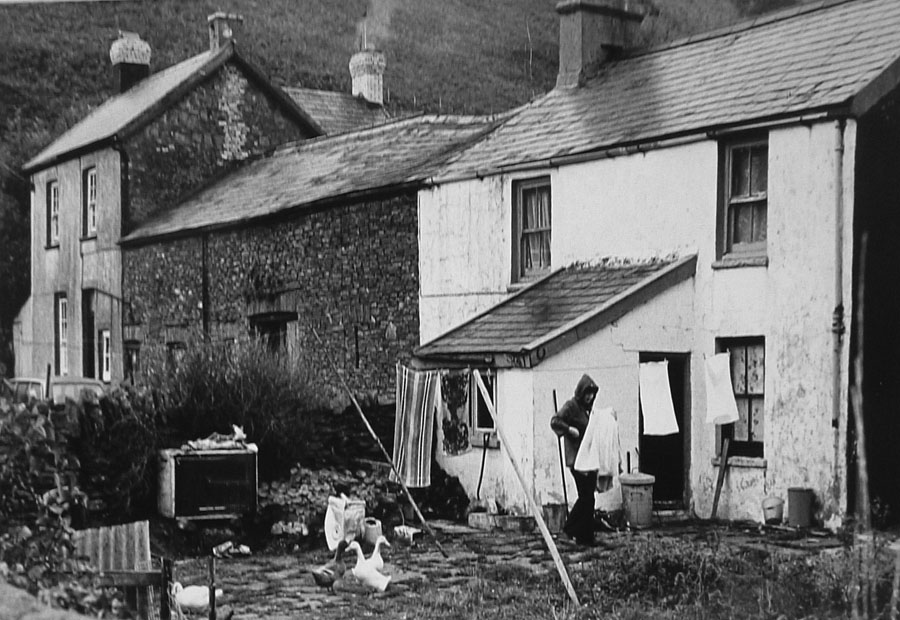
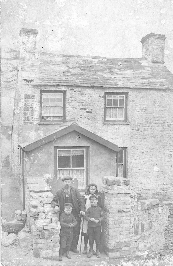
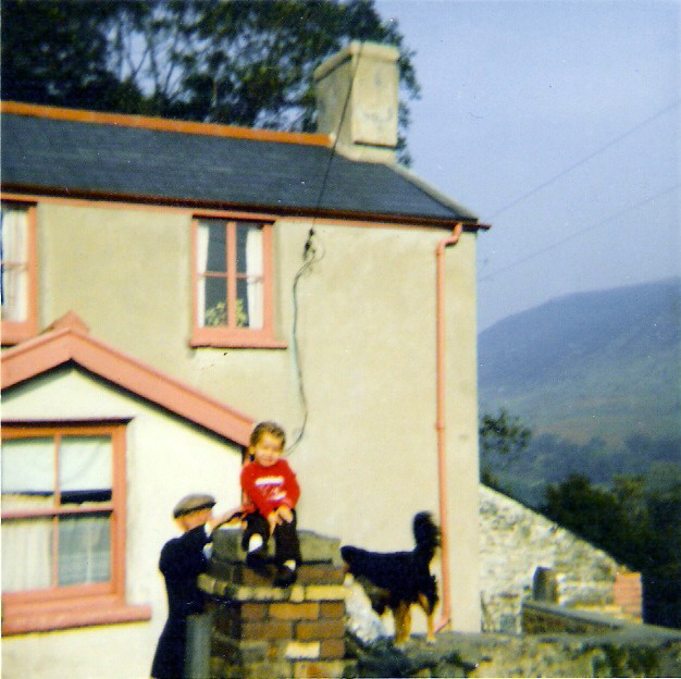
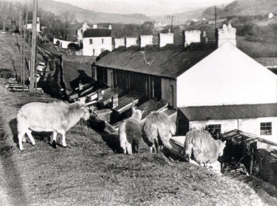
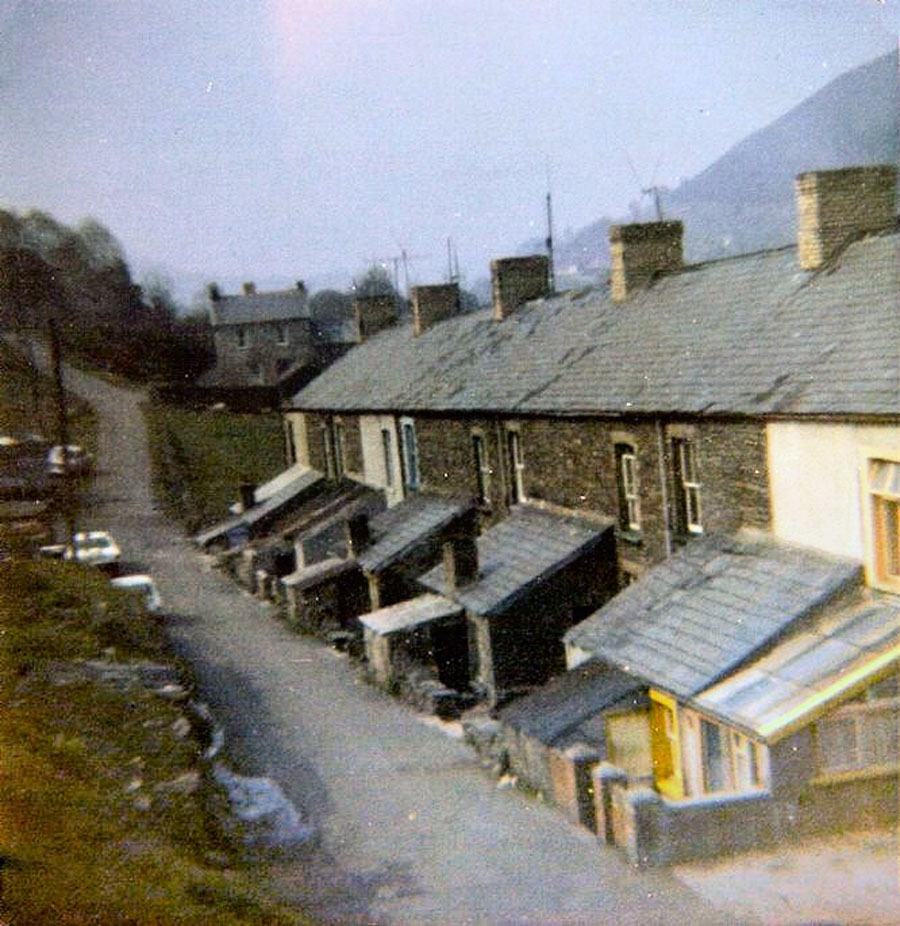
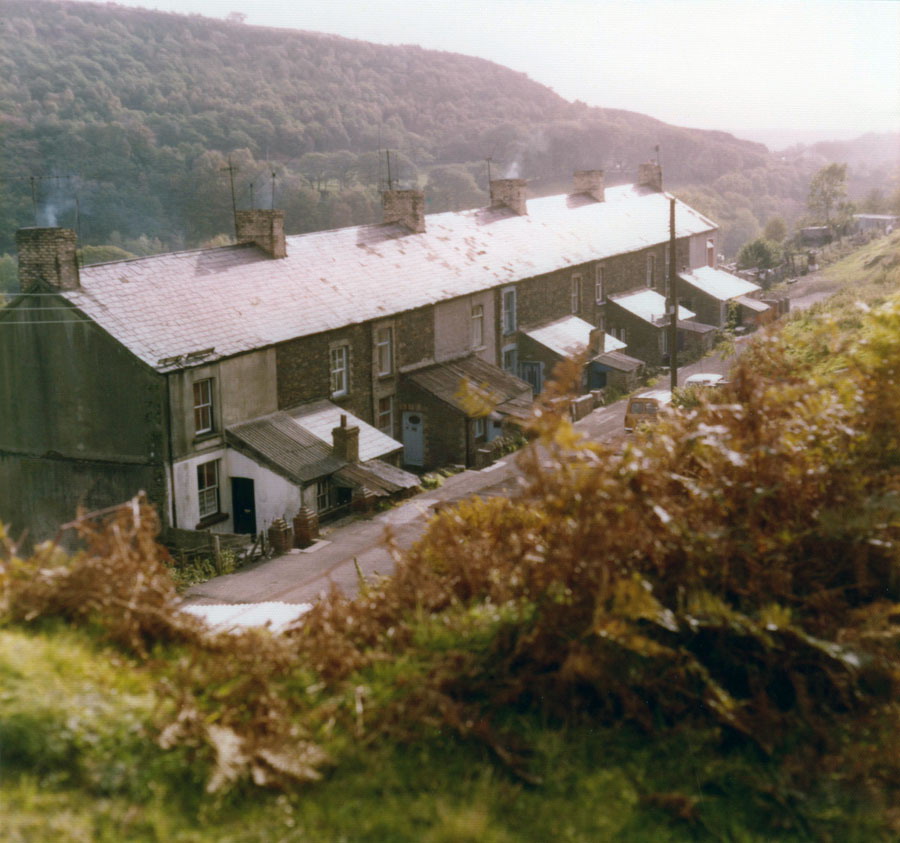
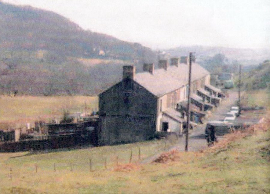
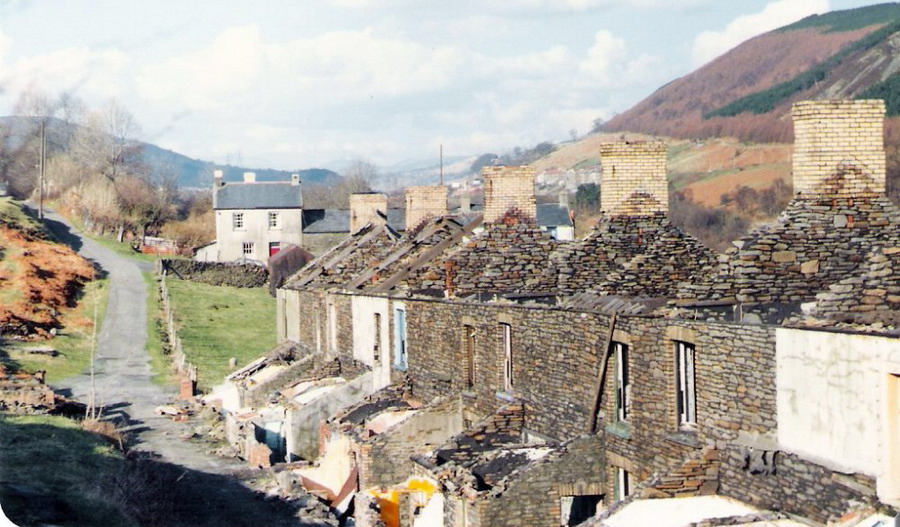
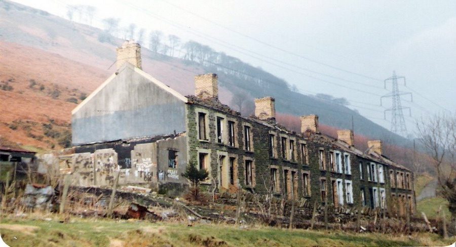
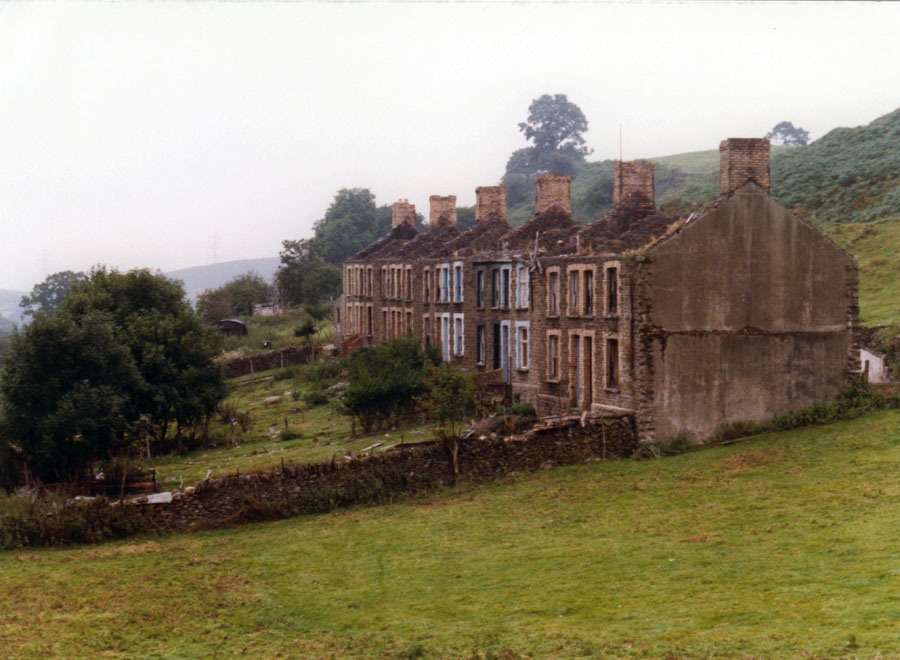
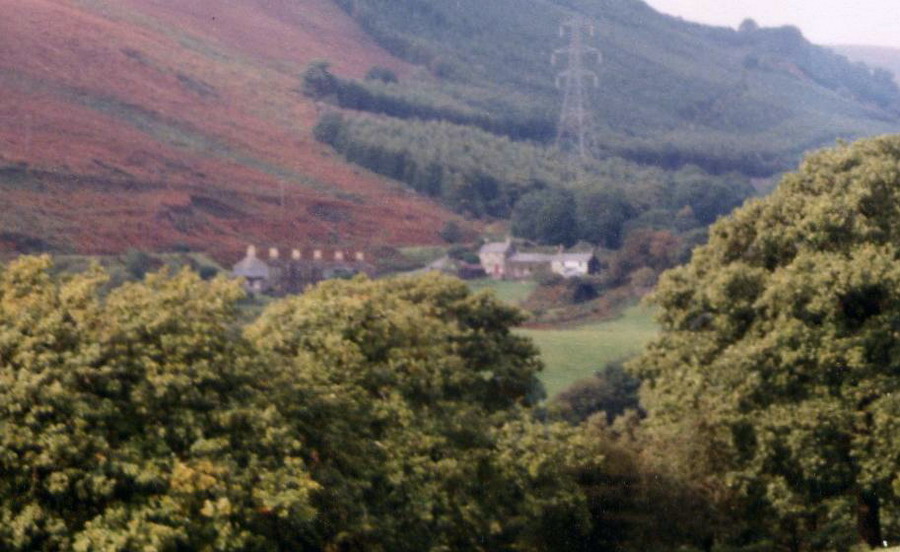
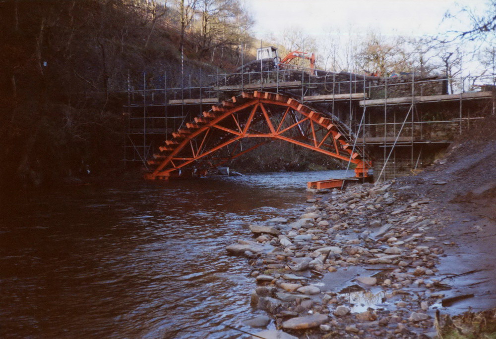
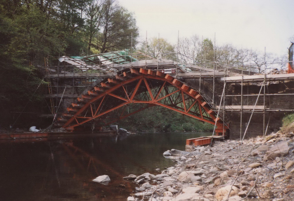
There was a small community here and many cottages were built in the
early nineteenth century to house some of the early Glamorgan Canal
workers. Sadly these were demolished in the 1980s for the building
of the A470 Truck Road. Although on their own in a rural
environment, the cottages were not isolated as a railway line ran
close to the community and stopped at the tiny Pont y Gwaith Halt,
but there do not appear to be any photographs of this halt and
railway enthusiasts would like to see a picture of it. Are there
any around?